The Annapurna Circuit Day 10 - Thorong La Pass to Muktinath
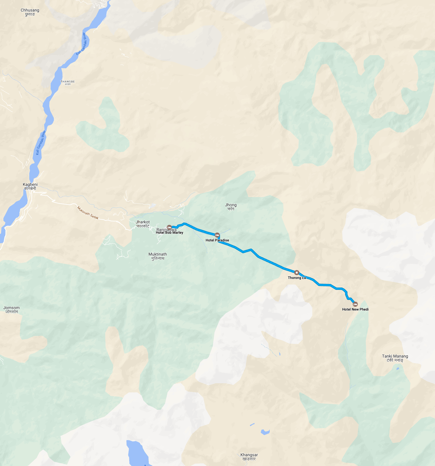
Thorong Phedi to Muktinath
EARLY STARTS | FALSE SUMMITS | RHYTHMIC WALKING | BOB MARLEY
- 29th October 2018
- 7.7 Miles / 12.4km
- 8 Hours 40 Mins (Moving Time 3 Hours 10 Mins)
- Starting Elevation 4450m
- Finish Elevation 3800m (4610m Thorong La Pass)
- Average Temperature 17.7C (Low 9C - High 29C)
- Average Heart Rate 113bpm (Max 150bpm)
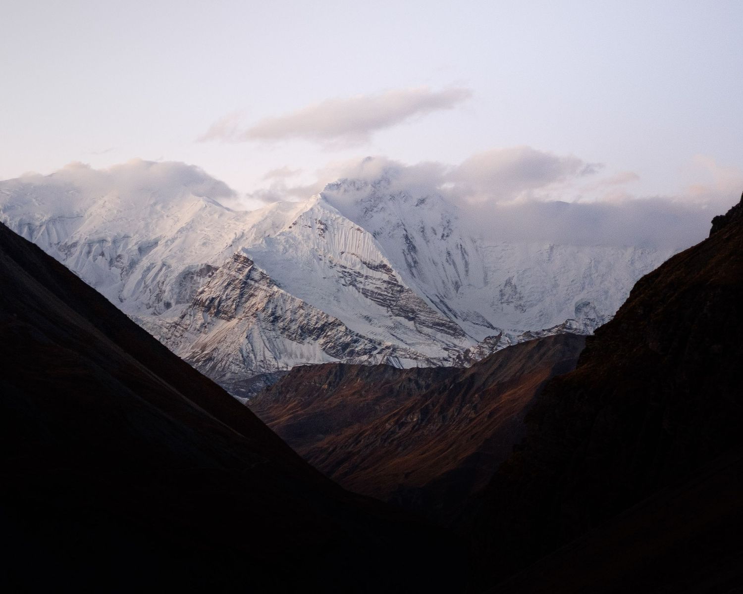
6AM In The Himalayas
Somewhere buried in my sleeping bag, my phone started to vibrate, signalling the end of a restless night’s sleep in Thorong Phedi. It was 5 a.m. deep in the Himalayas, and the night's silence was beginning to be broken by hushed voices and the tapping of trekking poles.
I’m not the most efficient packer, but on this occasion, I benefited from the time we spent preparing our gear the night before. Tentatively, I snatched my clothes for the day from outside the warmth of the sleeping bag and managed to put on my base layers before emerging from my cocoon into the fresh morning air. It was time to face the unknown and head to the pass.
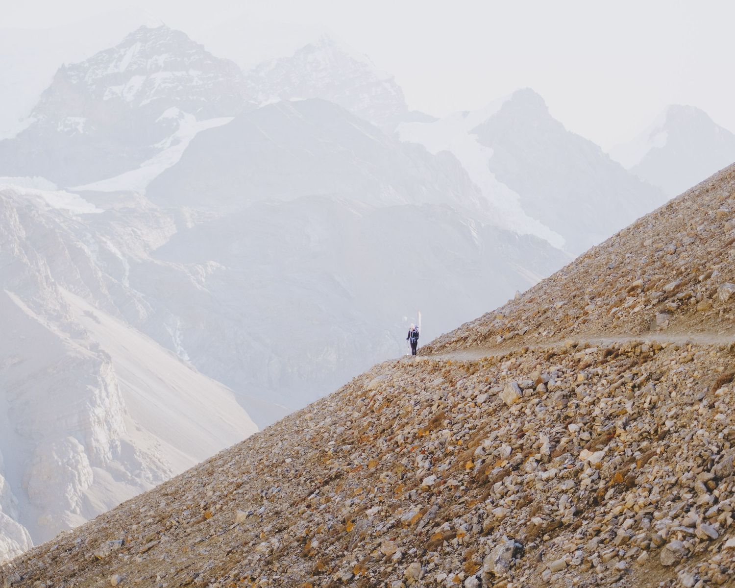
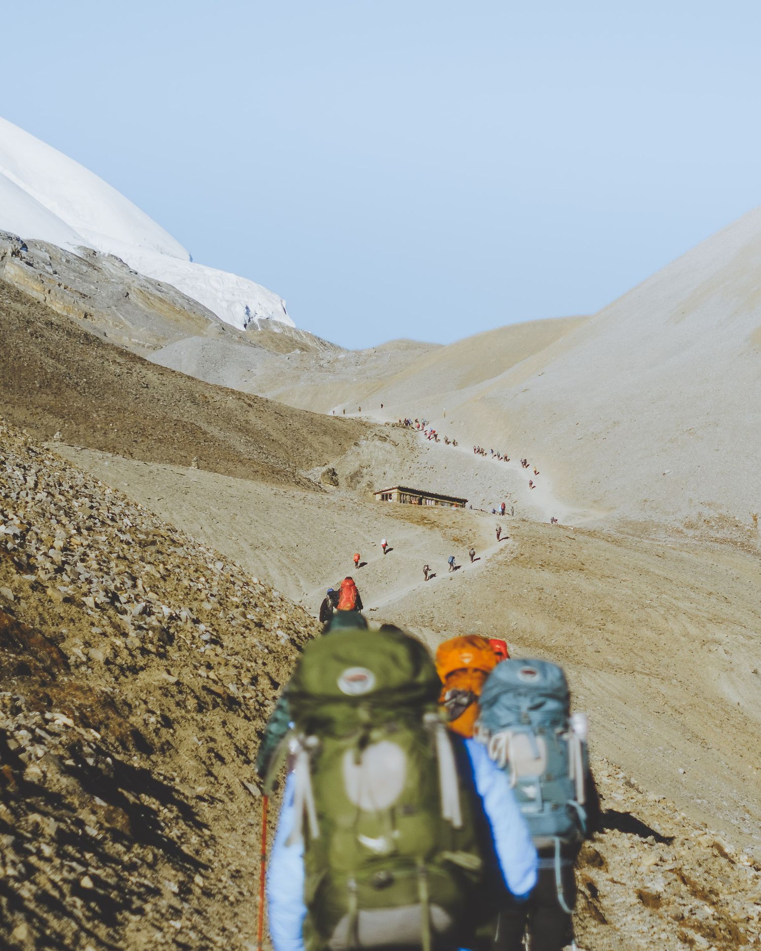
We set off walking just before 6 a.m., following a broken chain of trekkers up the steep, winding path to High Camp. Pass day is one of the longest on the trail, regardless of the altitude, so an early start is a must to ensure that we reach Muktinath or beyond with some time to spare.
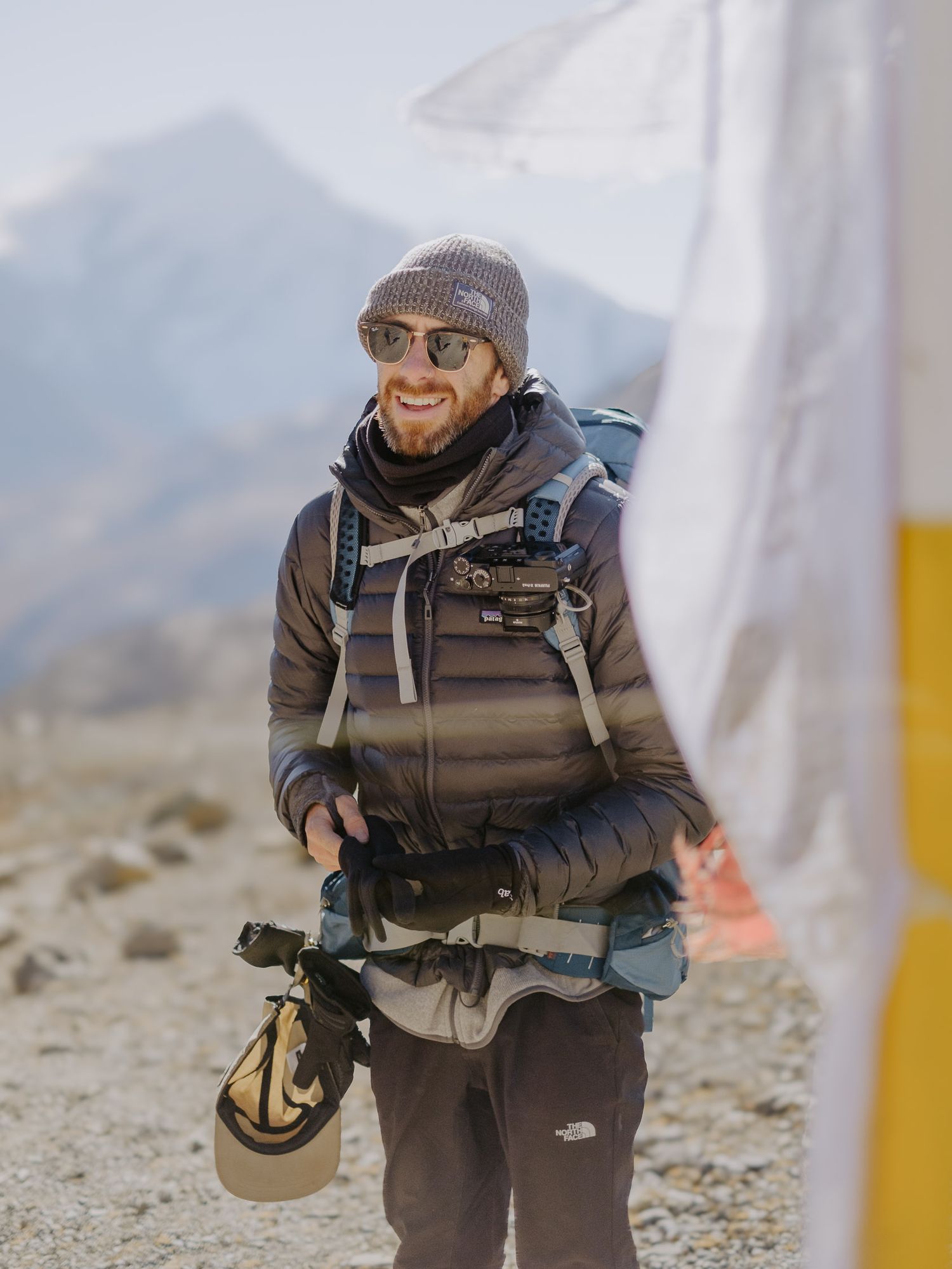
The last nine days had all led to this morning, and the anticipation of how we would cope with the altitude created a quiet, business-like atmosphere as we trekked upwards. We stopped often, but only for short moments to catch our breath and maybe snap a photo of the sunlight beginning to illuminate the surrounding mountains.
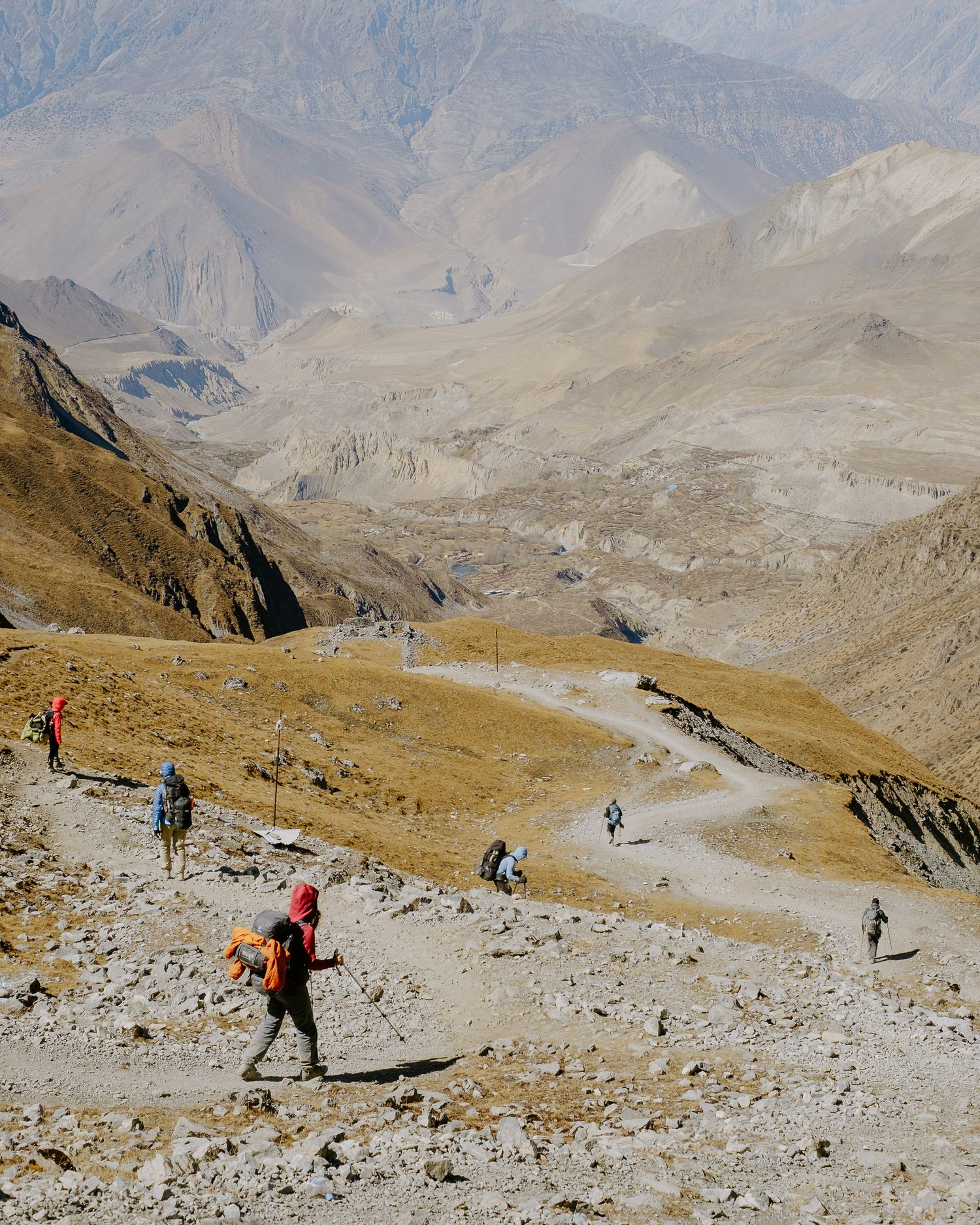
When we reached High Camp, it was bustling, and the path ahead was busier, with the bright colours of jackets and backpacks standing out against the beige rocky trails winding through the mountains.
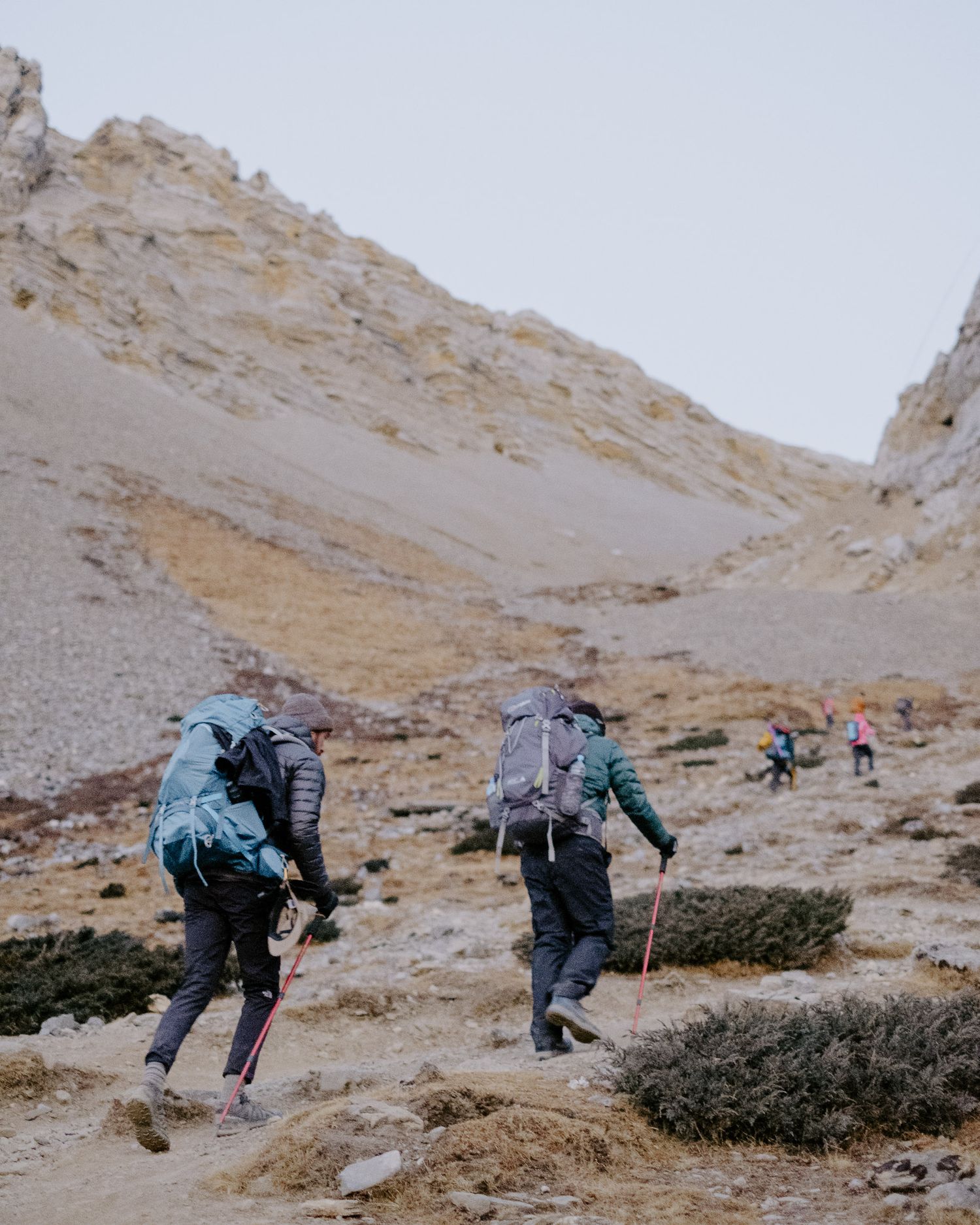
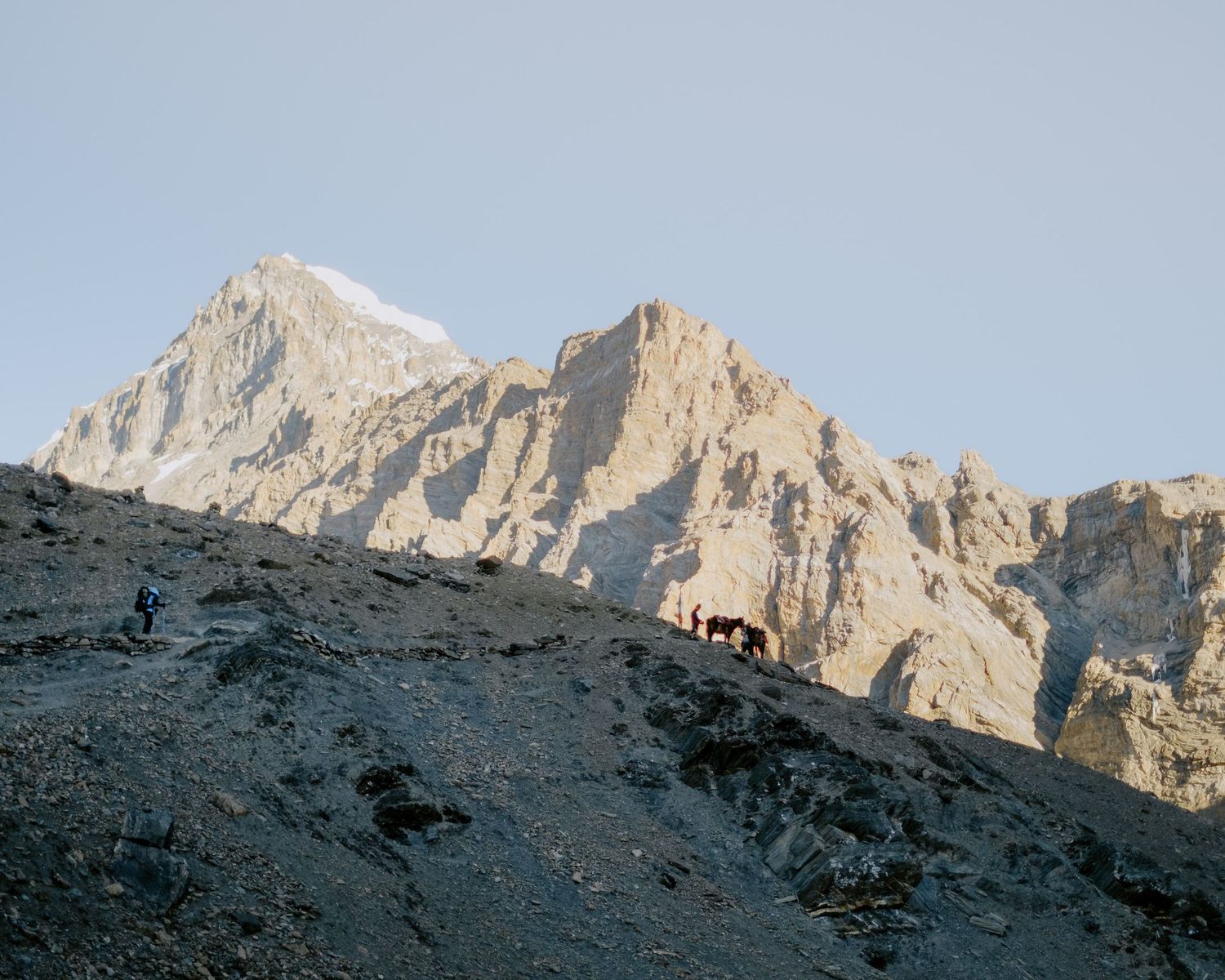
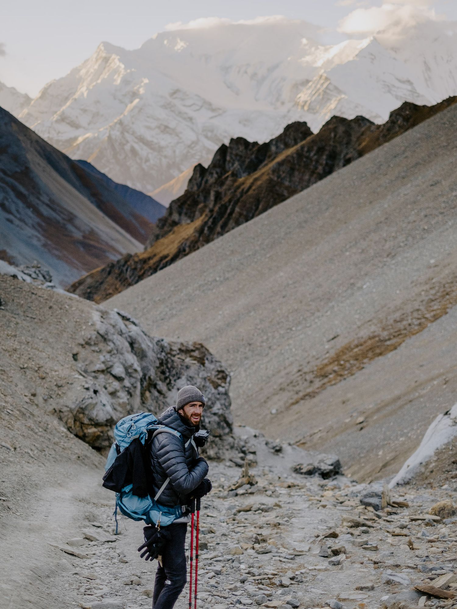
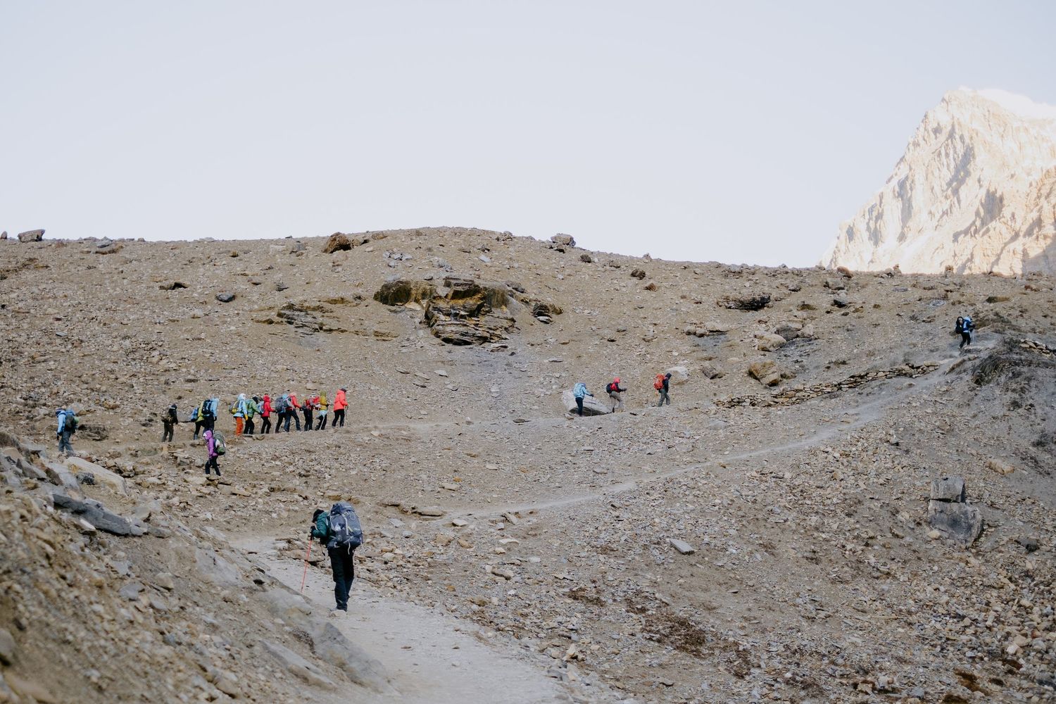
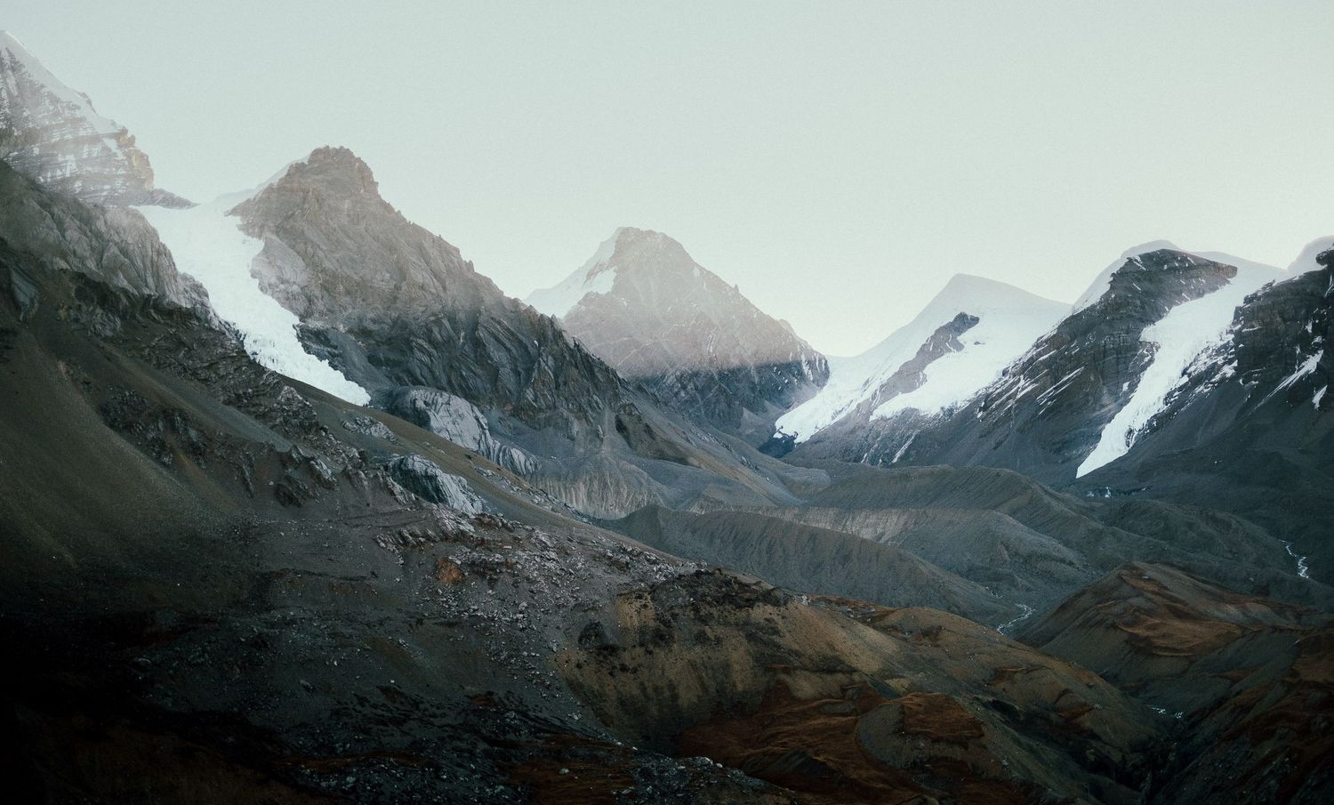
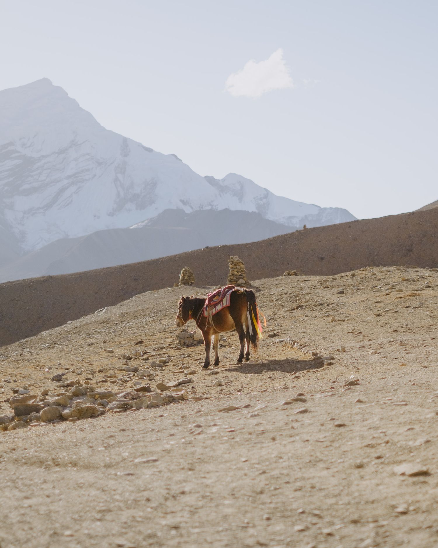
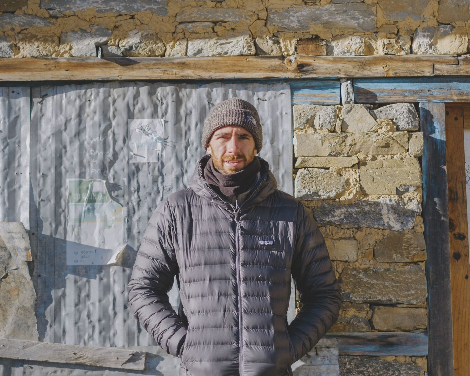

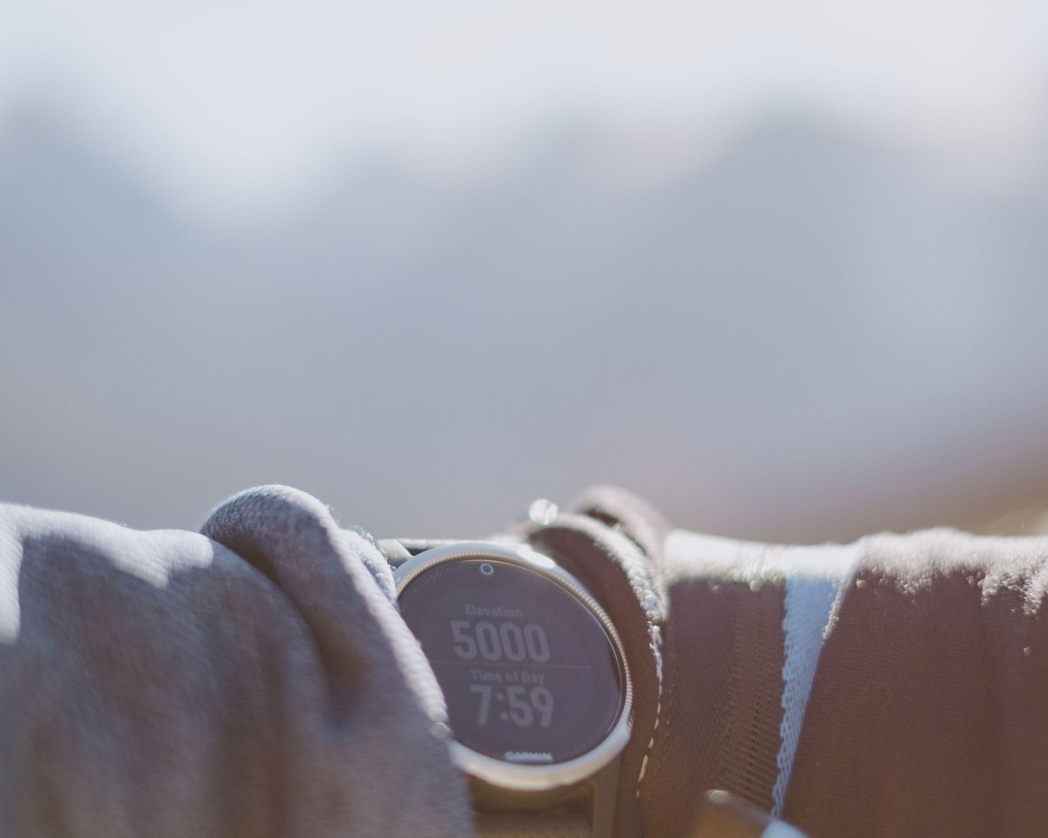
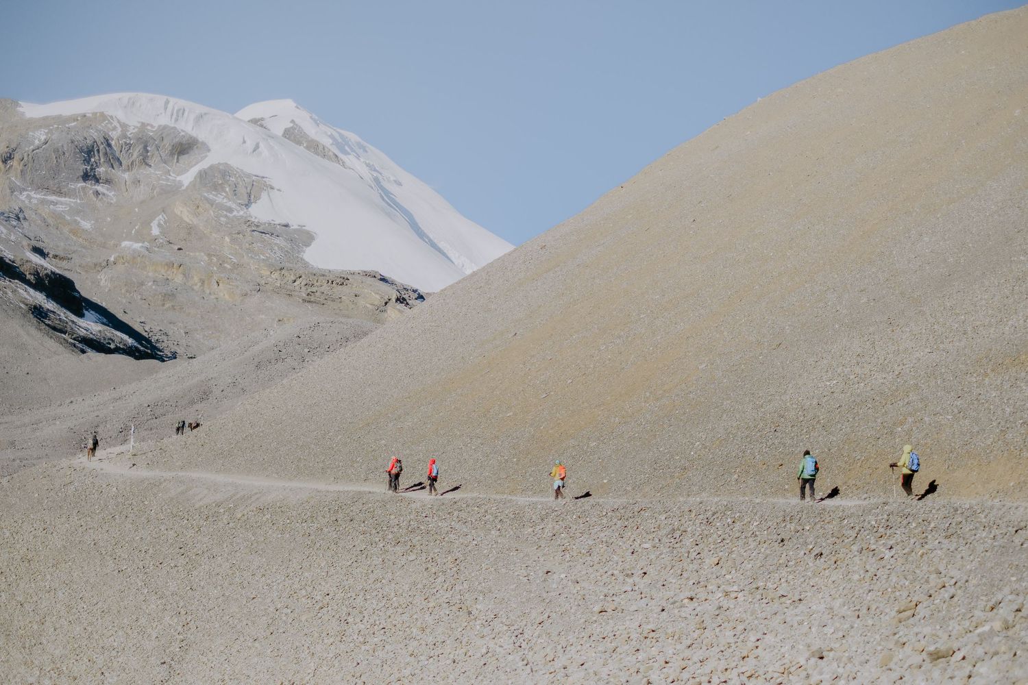
There are a lot of factors that cause apprehension on summit day. The climb, how congested things will be, how you will react to the altitude and then also the weather. We were blessed with perfect conditions, clear skies and a gentle breeze, so really it was just down to our bodies to carry on climbing up towards the summit of the pass.
Reaching 5416m
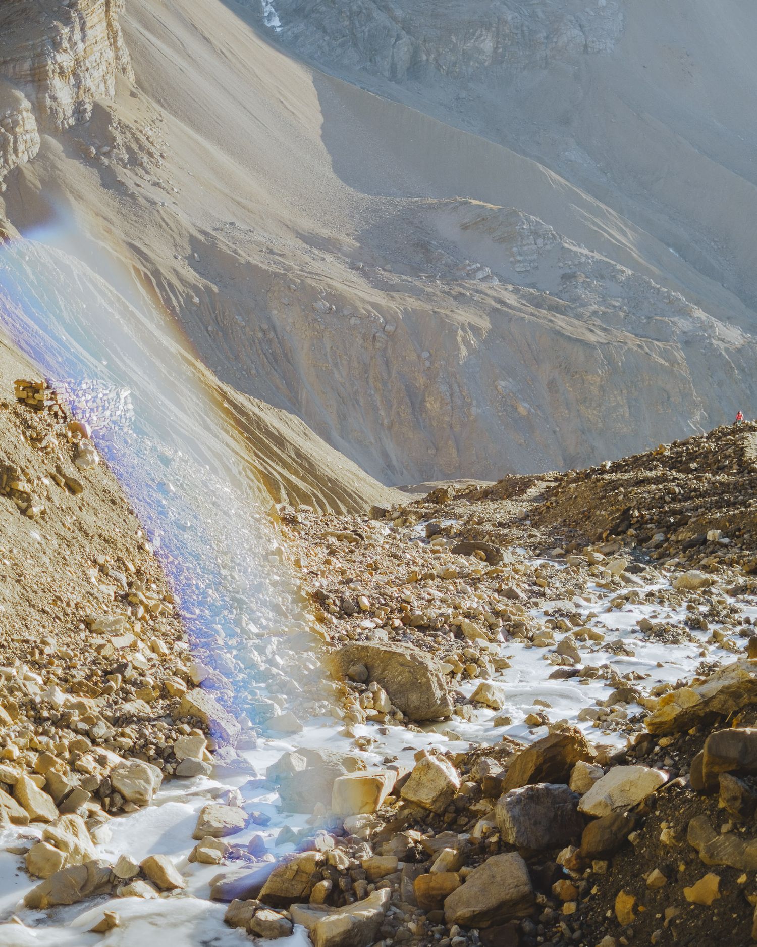
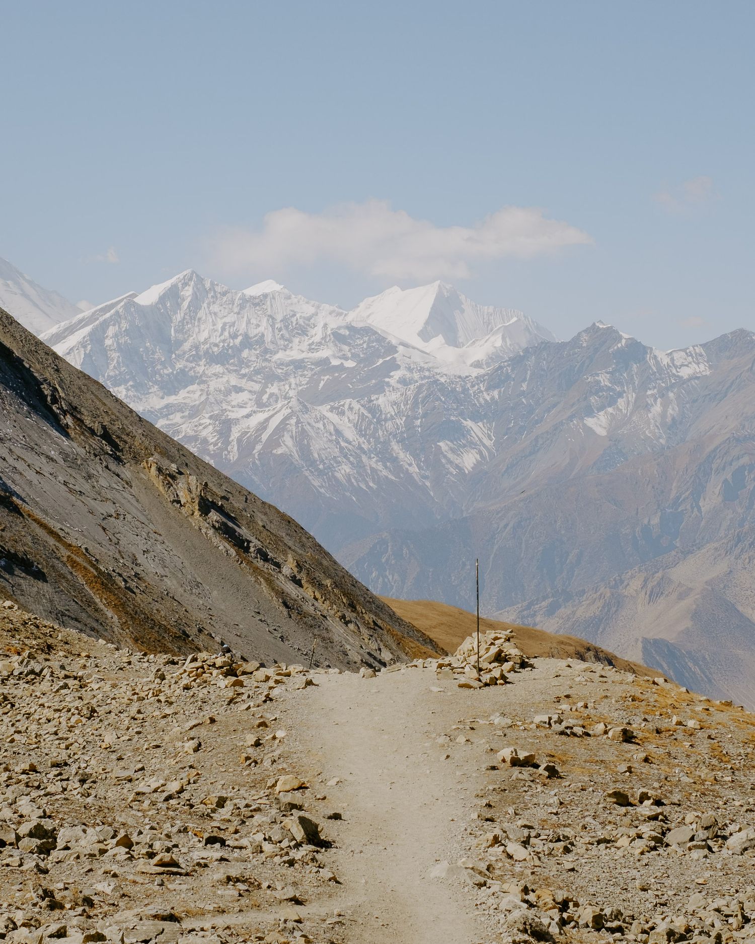
All I can remember about the hike to reach the top of the pass is the false summits and the hidden twists along the path. The route up to the pass has few landmarks to help judge how far we have walked or how much farther we have to go. The dry, rocky trail seemed to maintain the same colour and consistency around each bend.
After about an hour of walking, I began to feel confident that we would reach the highest point of the pass without any serious struggles, but it was still a process of taking small steps and pausing for short rests along the way. I settled into a rhythm, moving in time with the creaks of my backpack, following my own personal metronome. After the first few blind bends and false summits, I stopped trying to estimate where the actual summit would be and how far we had left to go. I simply focused on putting one foot in front of the other, as the old saying goes.
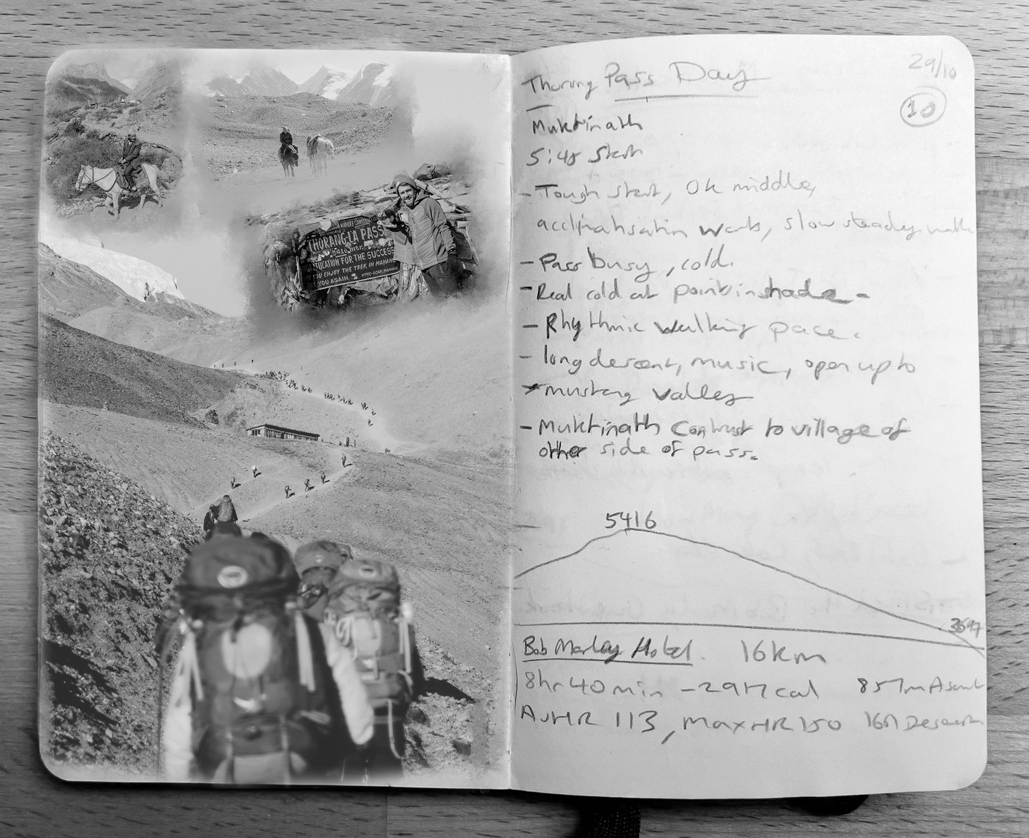
It took us around four hours to reach the summit of the pass, and at approximately 9:50 AM, the dusty landscape was punctuated by colourful prayer flags and the sound of voices as everyone relaxed, savouring the achievement of reaching an elevation of 5,416 meters.
The Annapurna Circuit is about much more than just reaching this high point. I strongly urge anyone who plans to rush to this section of the trail simply to check off reaching a specific elevation to reconsider. Instead, take the time to reflect on these circuit diaries, which highlight the beauty found in the earlier stages of the route.
Summit day is a victory lap, a moment to celebrate the previous days spent slowly exploring this dramatic part of the world. It’s a shared experience amidst the prayer flags, but it represents only a small portion of the entire journey.
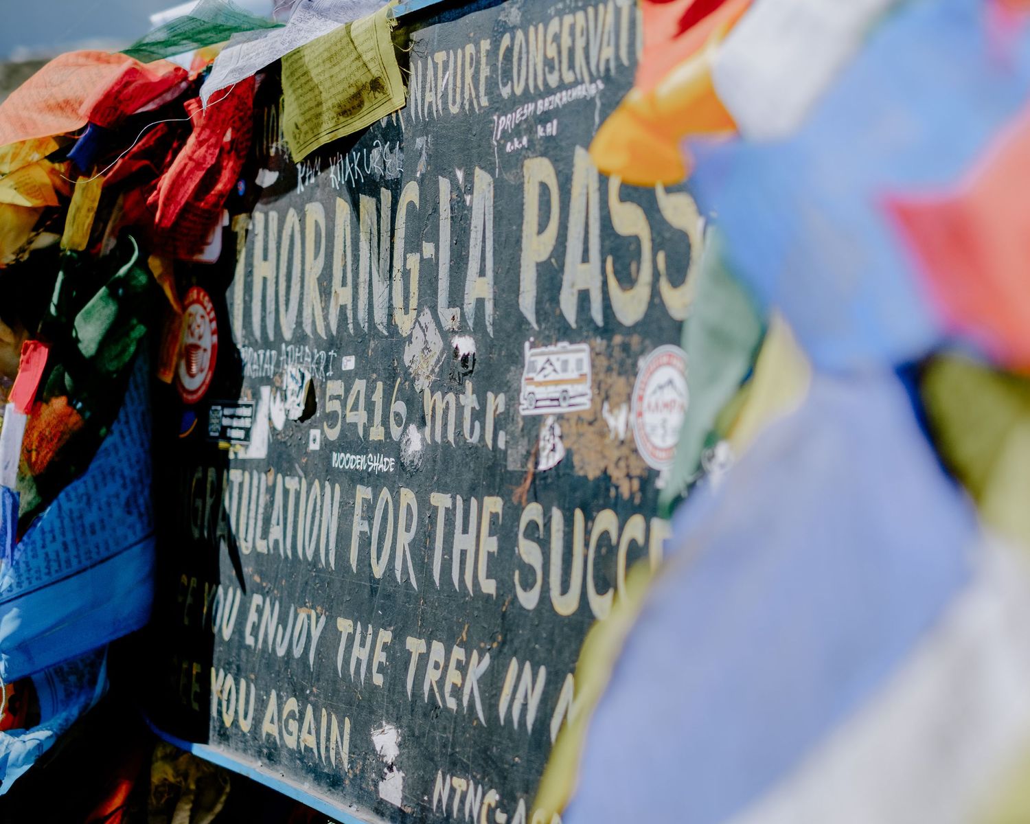
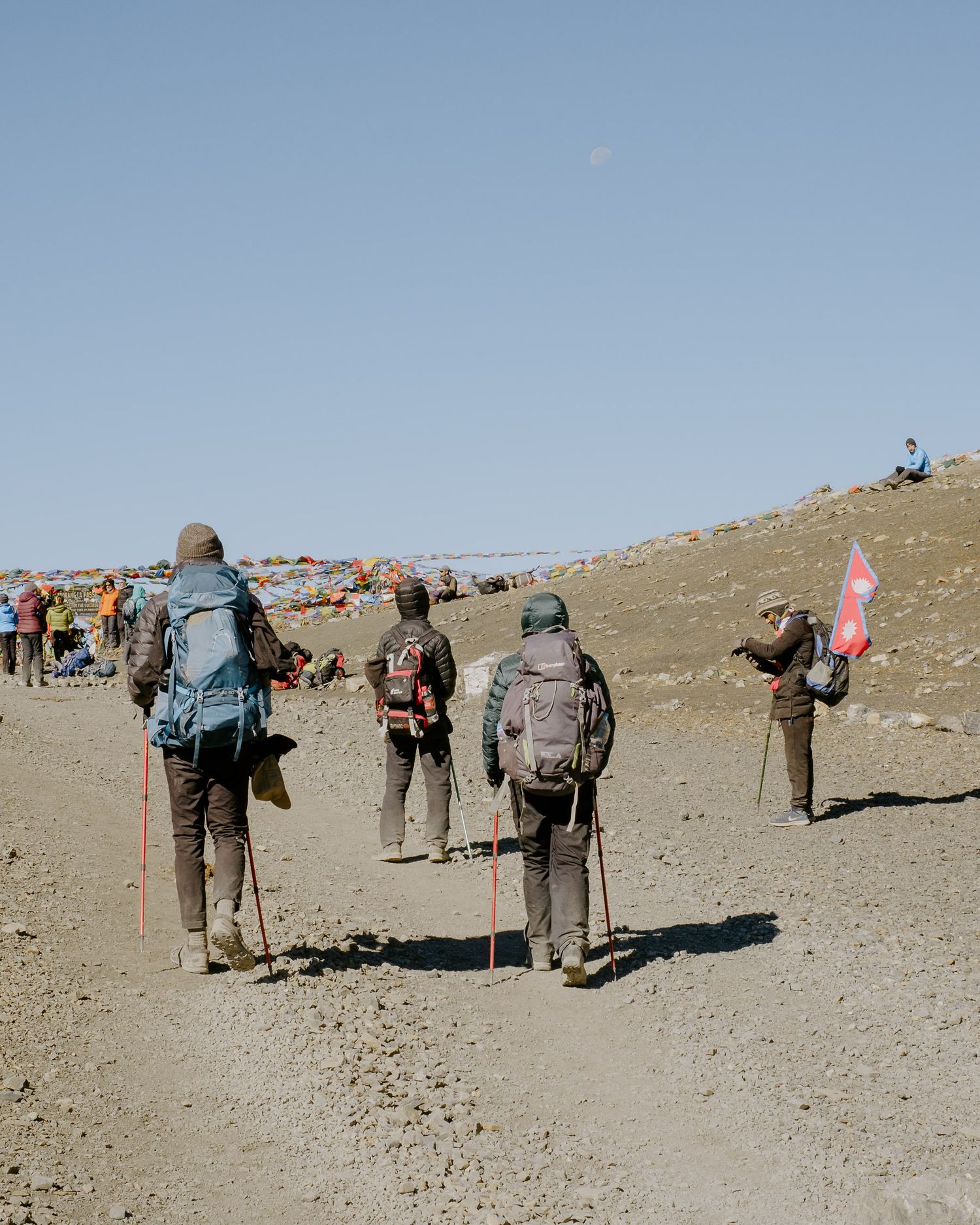
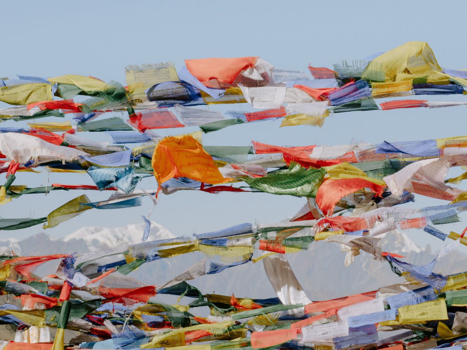
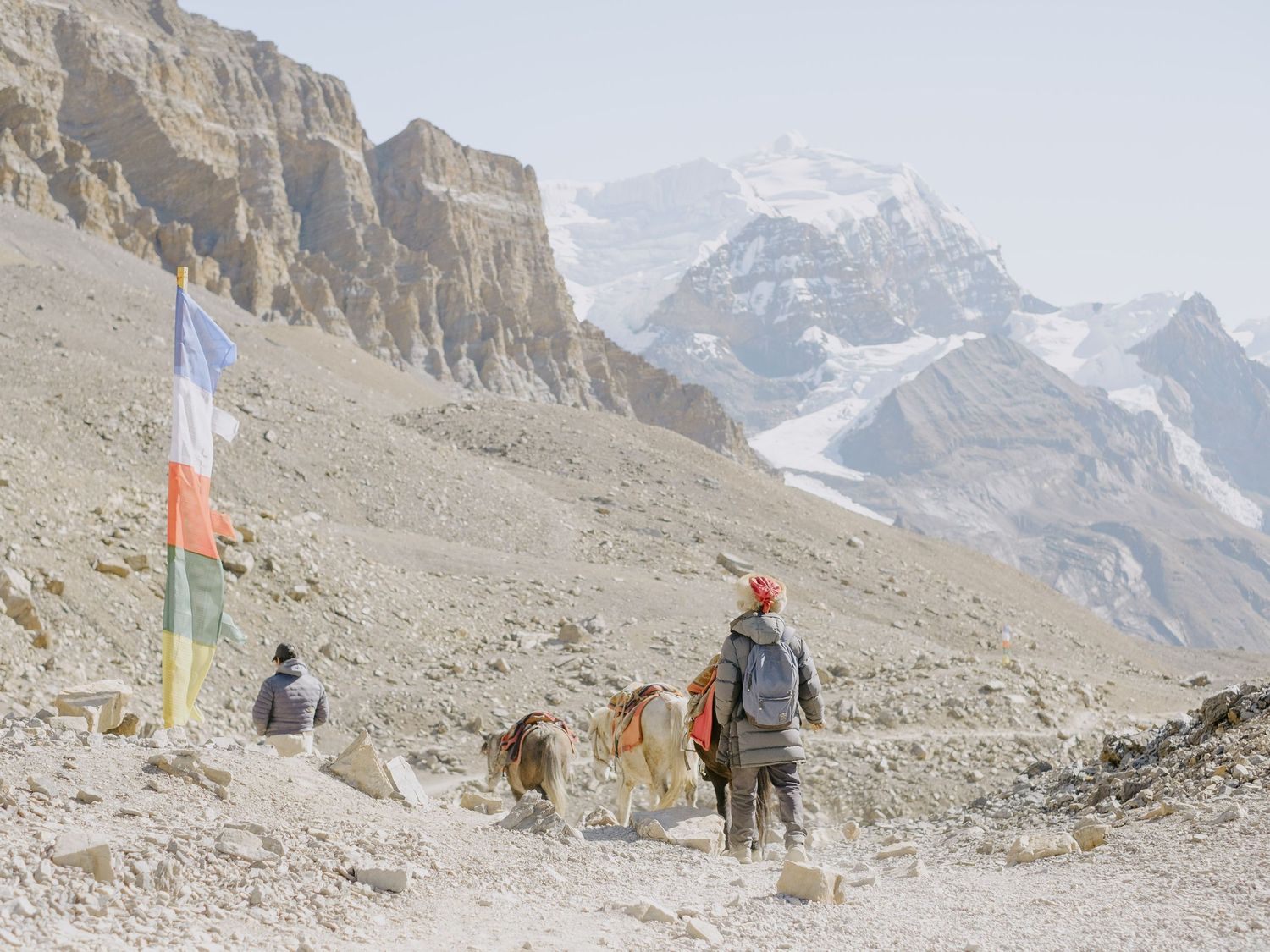
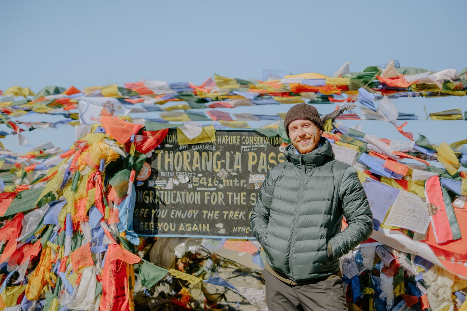
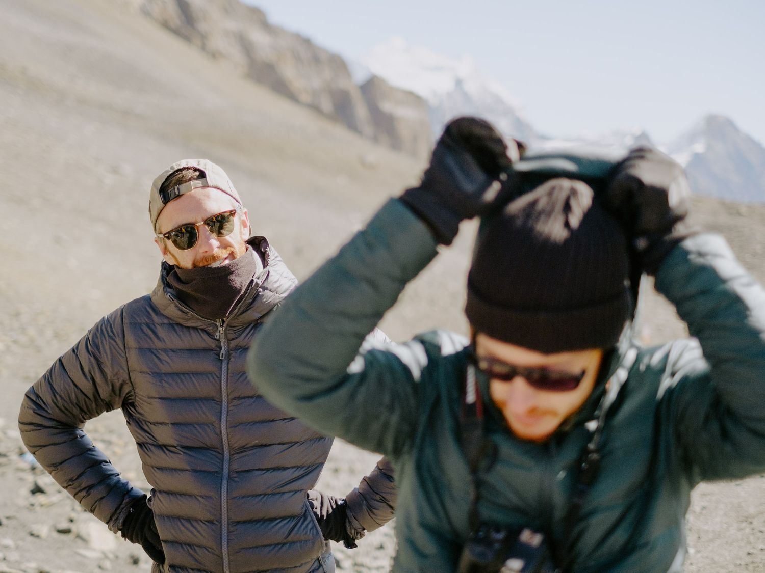
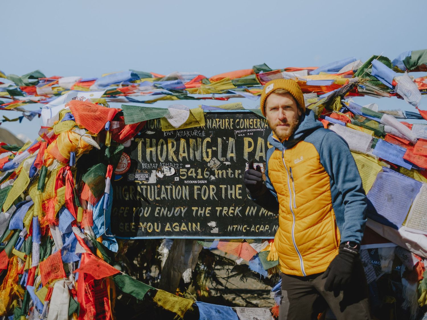
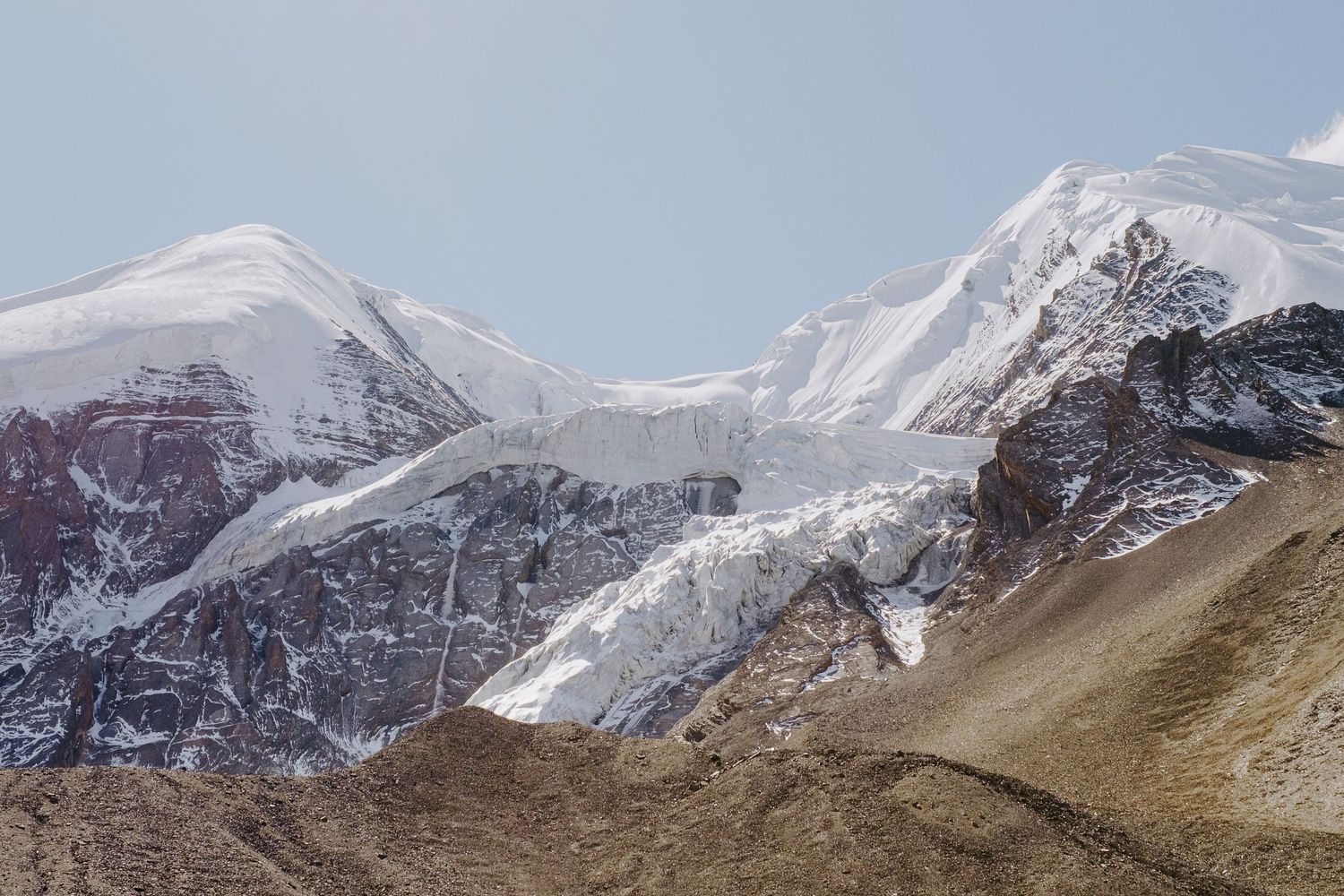
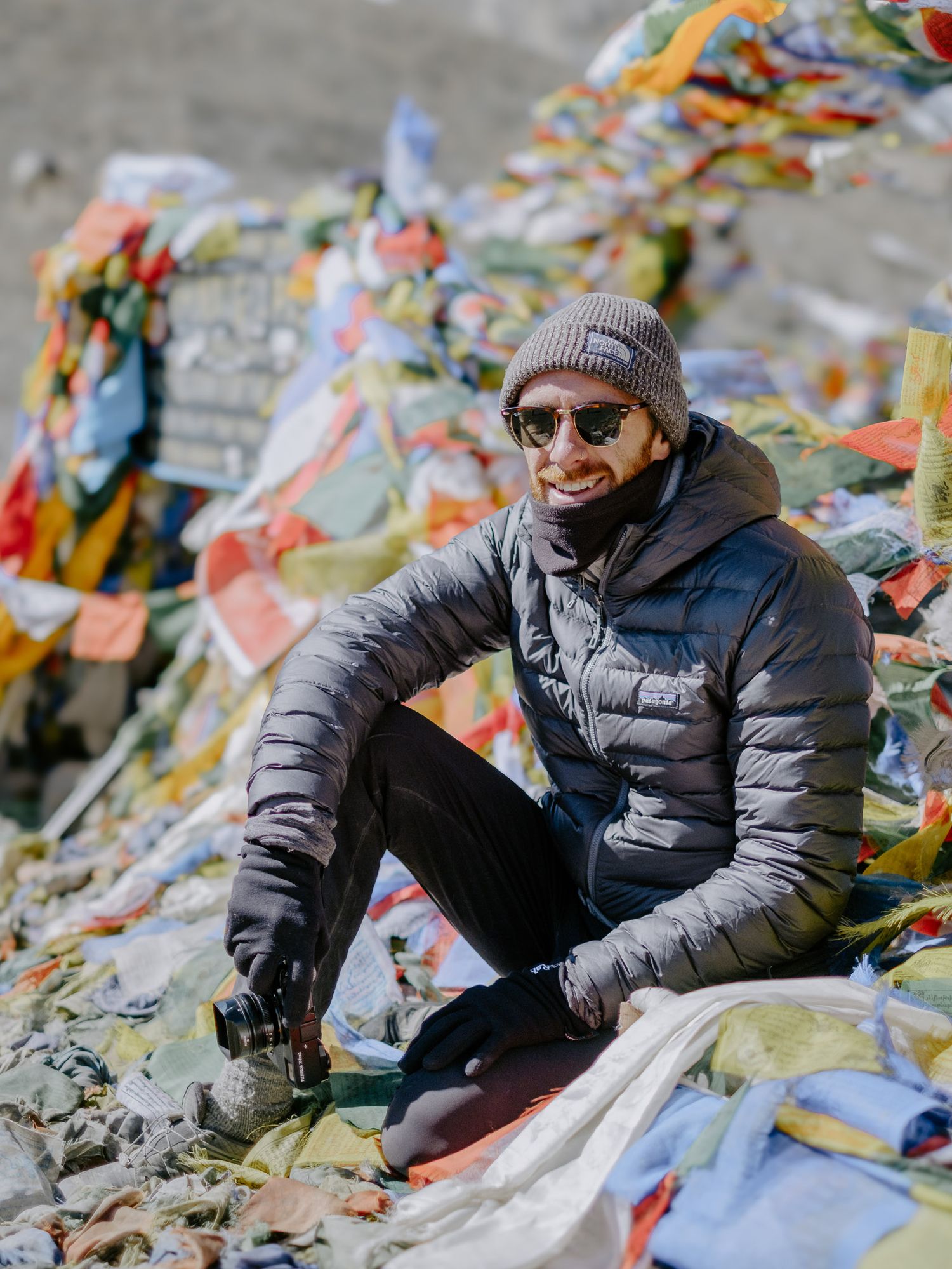
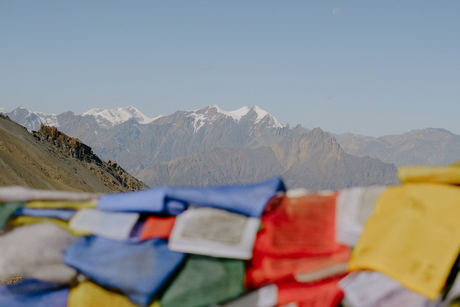
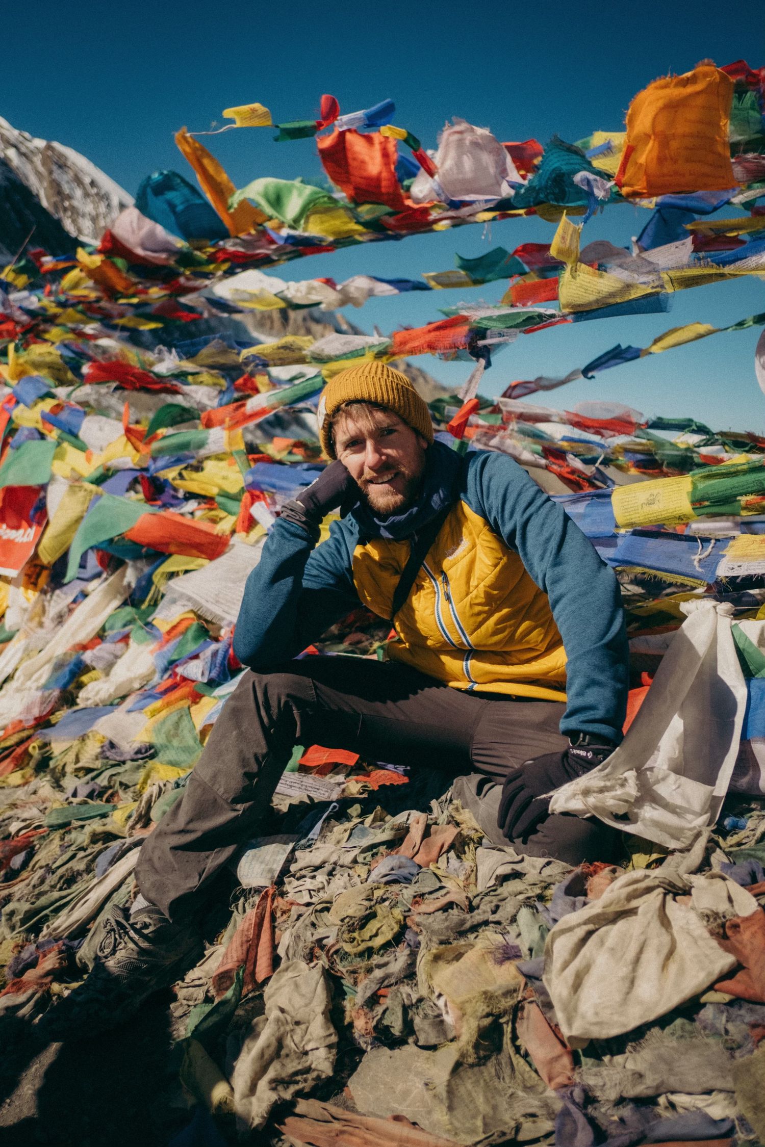
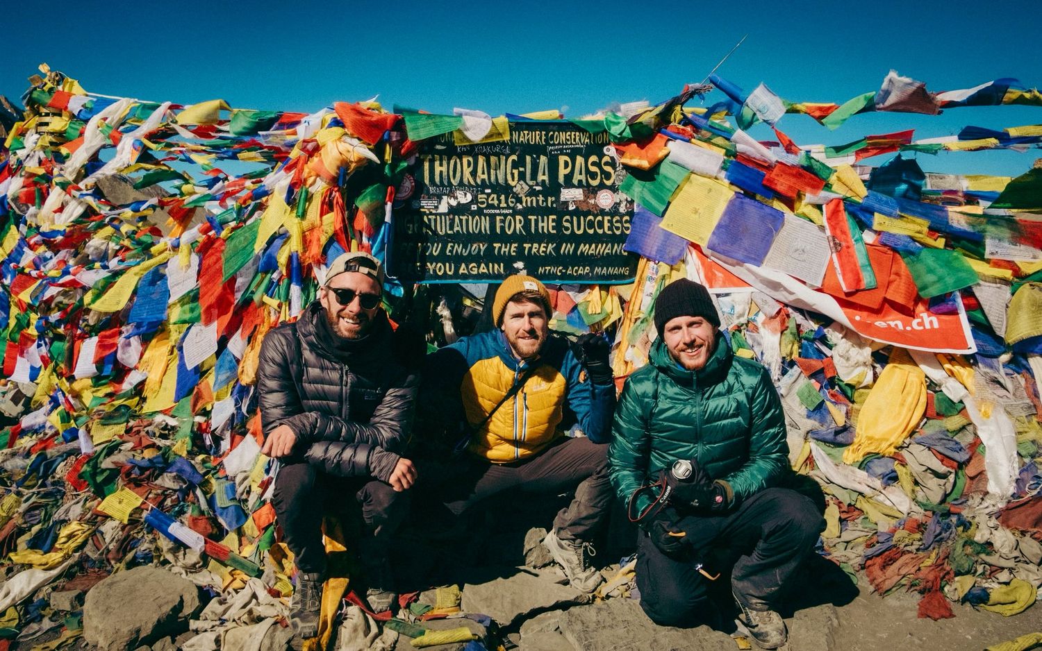
After 30 mins, a few high fives and photos we marched on towards a new valley, a new landscape and new experience ahead.
Part 3 - Descent
The descent served as a valuable lesson about never forgetting your surroundings. After the exhilaration of reaching the top of the pass, I fell into the trap of speeding up on the way down. It seemed logical, right? Going downhill should be easier. Unfortunately, altitude had a different opinion. It only took about ten minutes of brisk walking downhill for me to feel a light headache coming on. We were still above 4,000 meters for most of the descent, and I needed to keep that in mind.
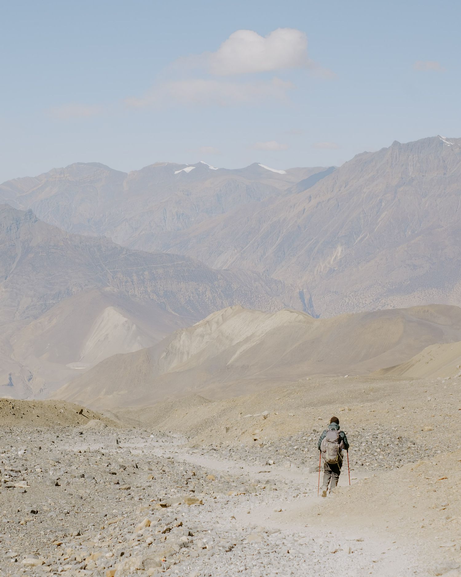
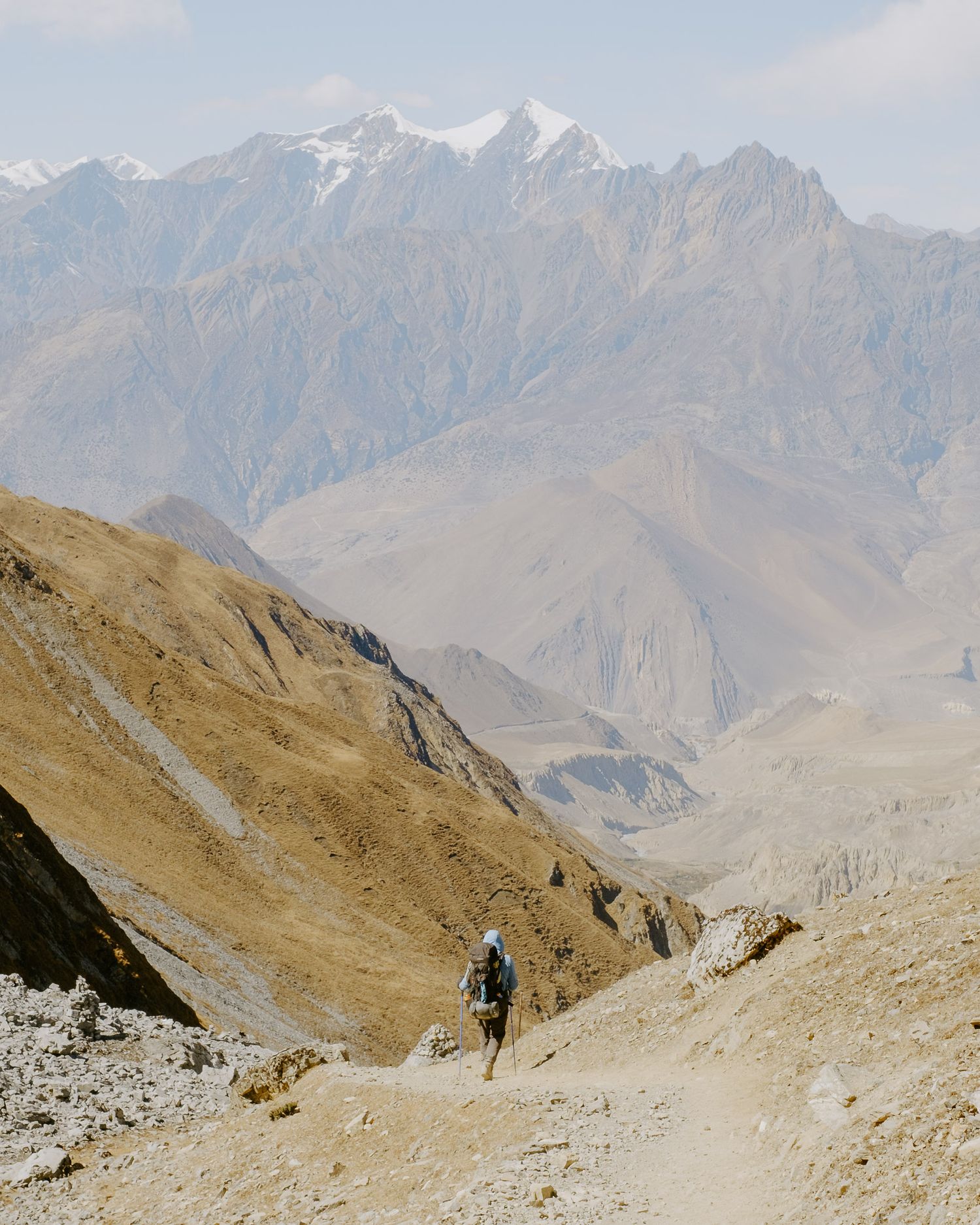
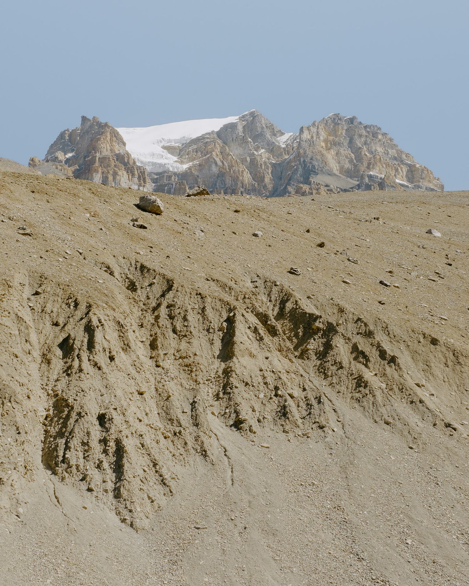
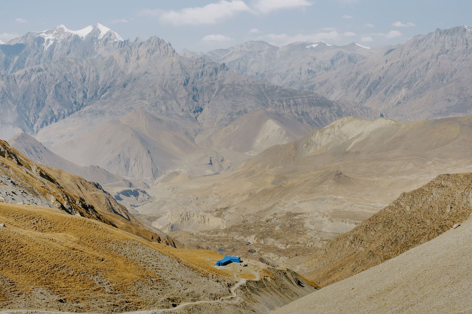
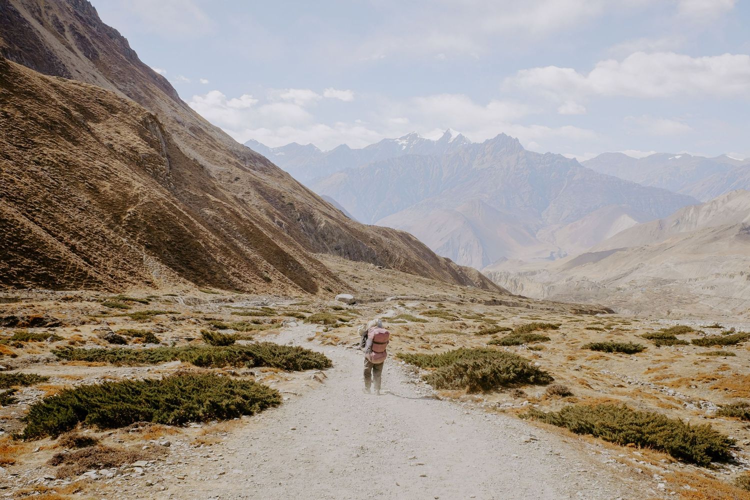
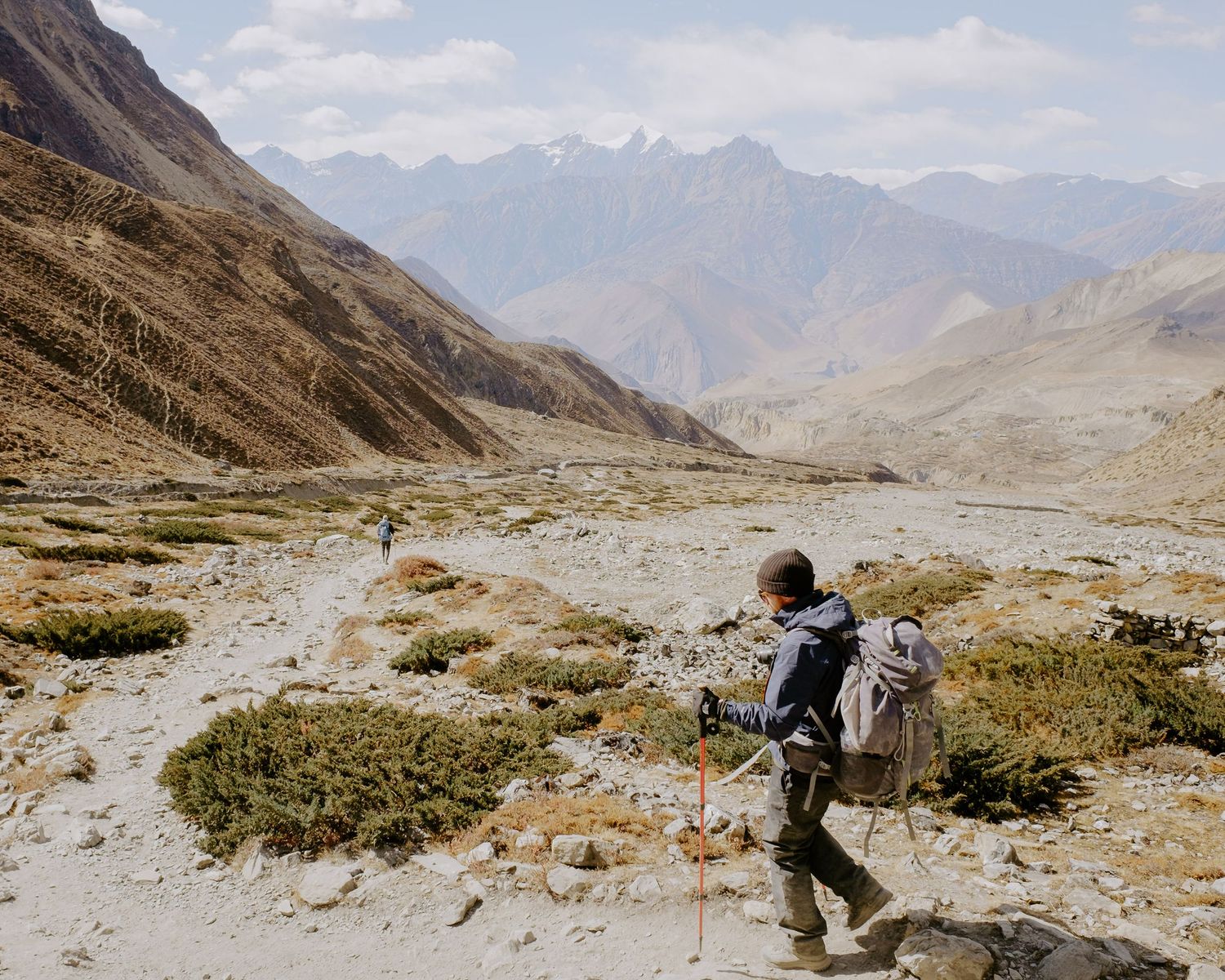
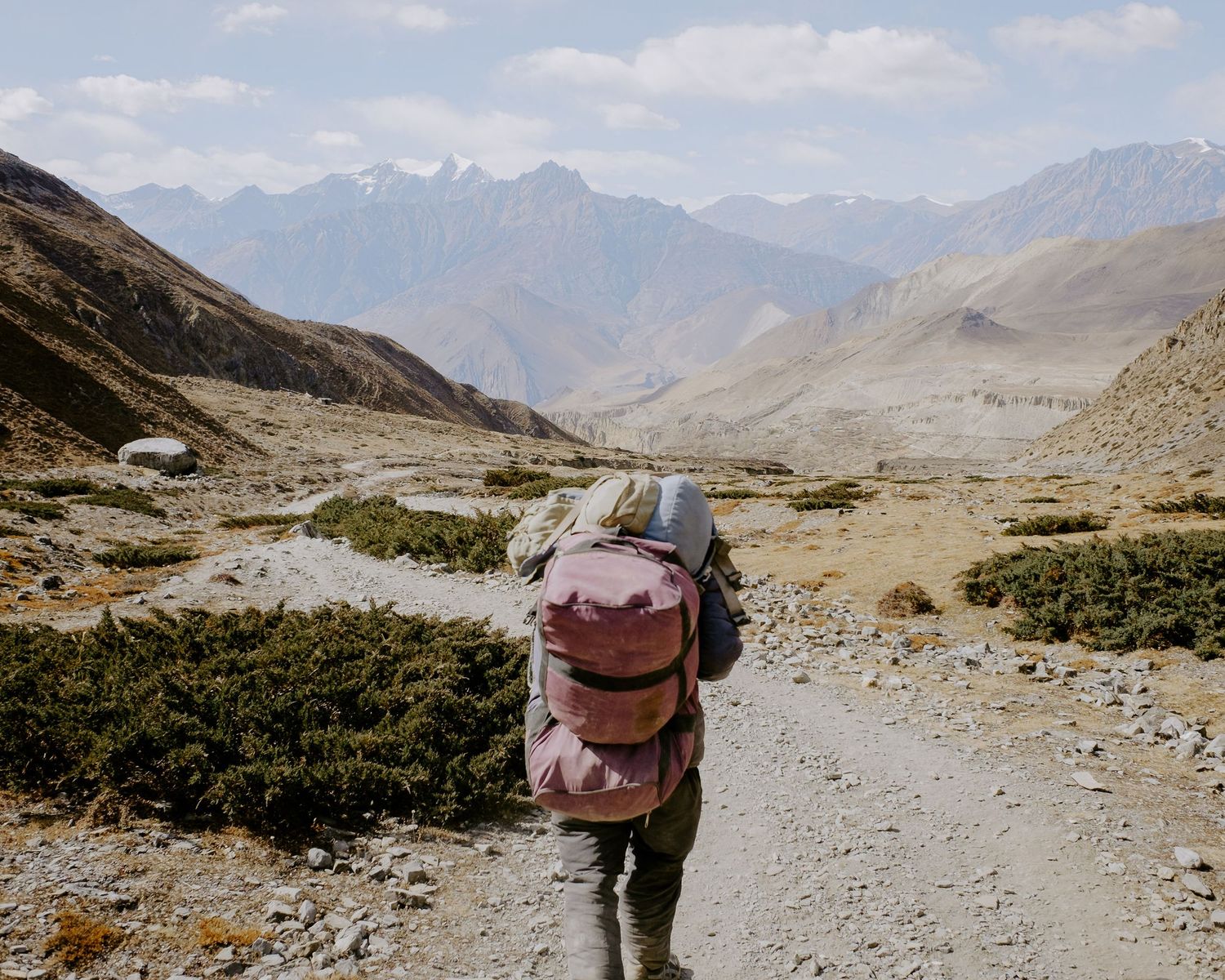
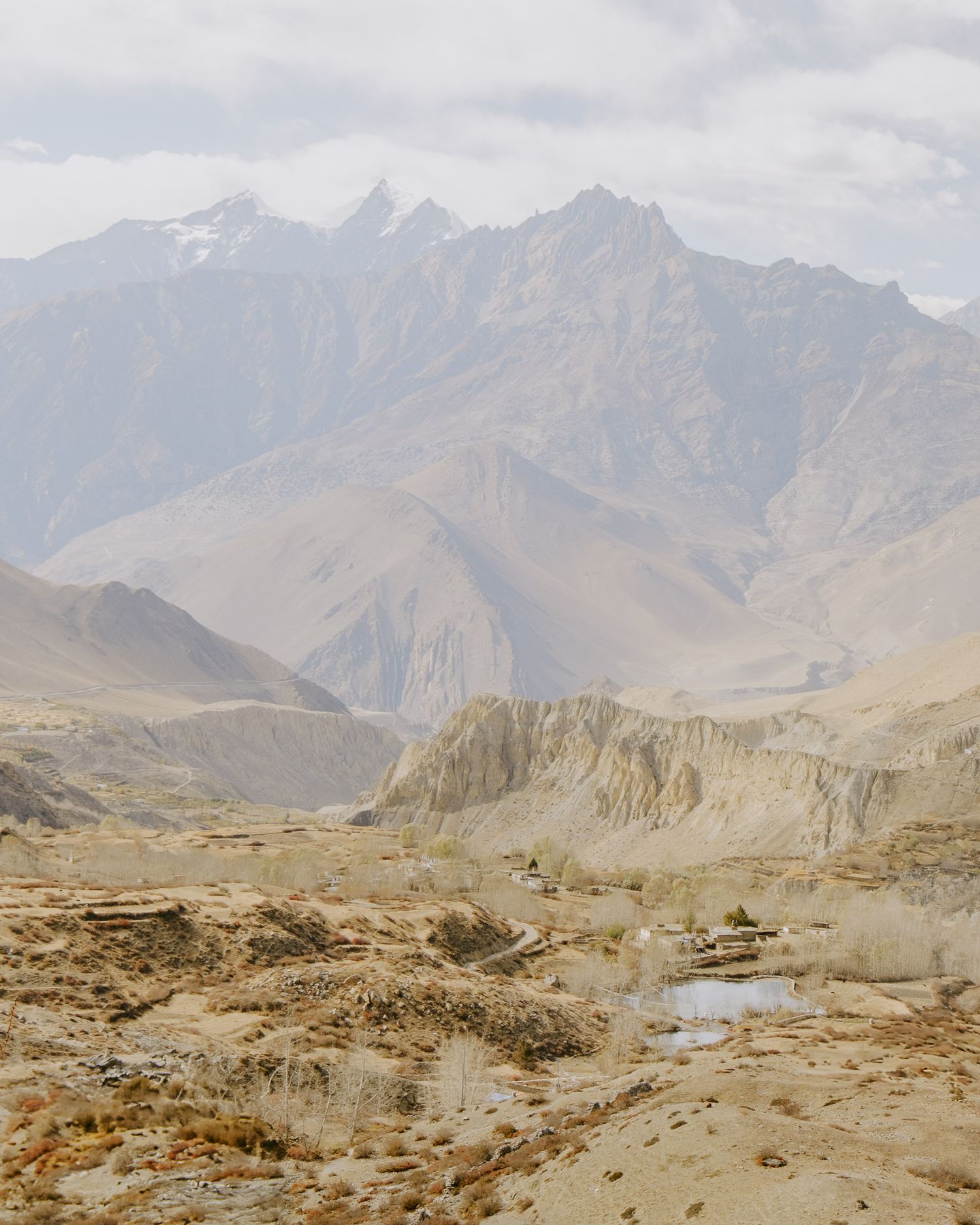
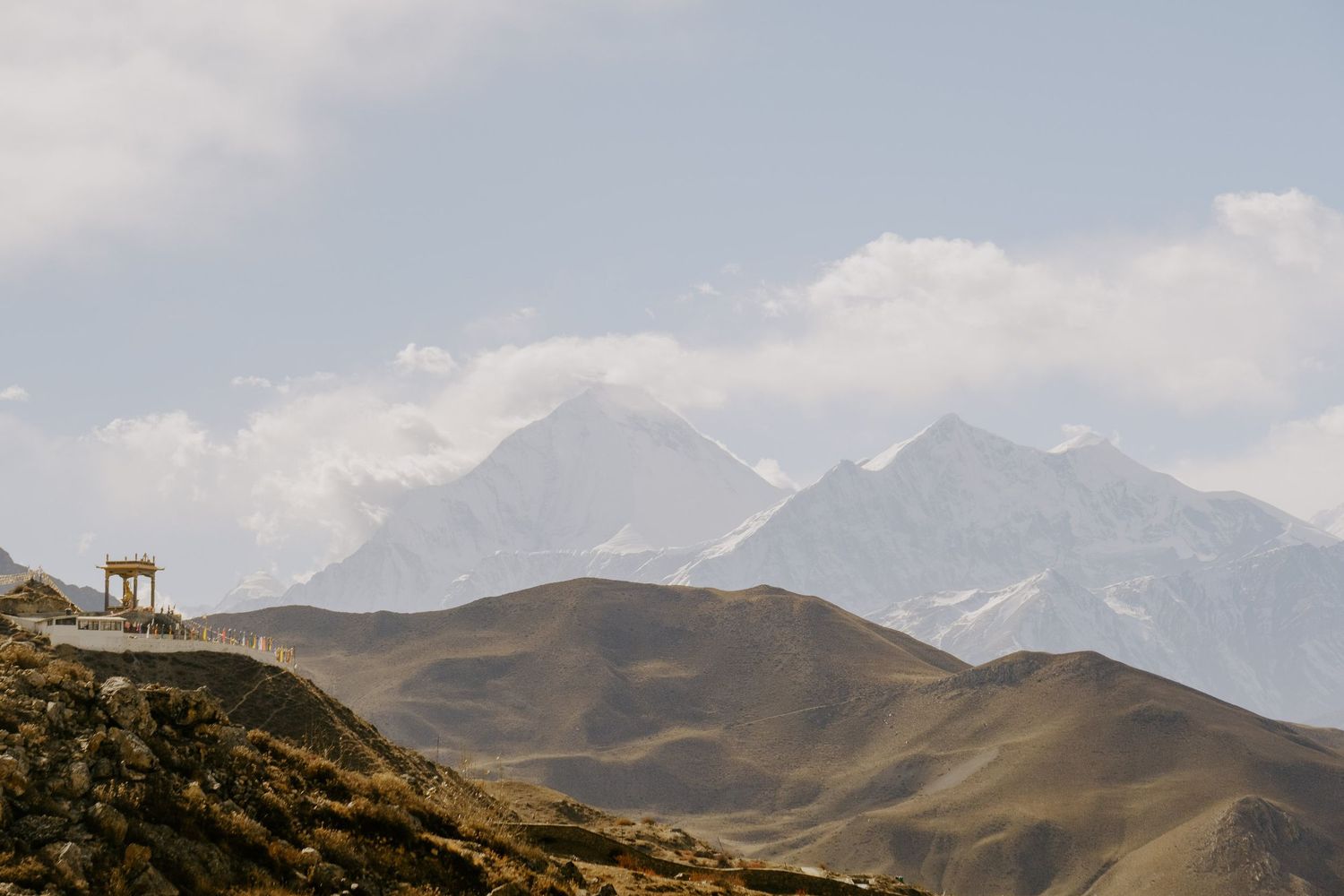
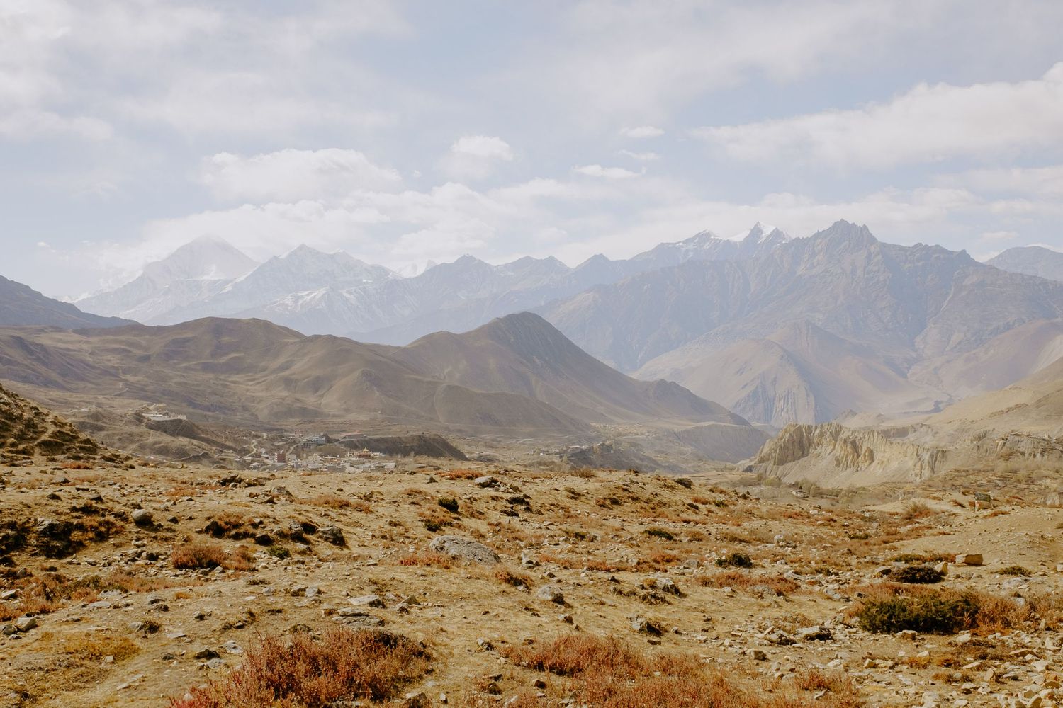
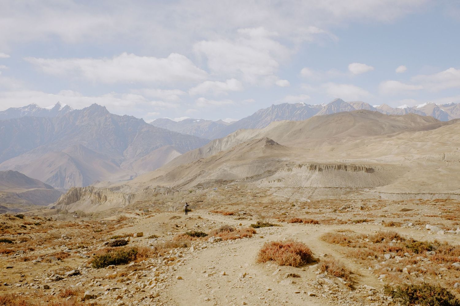
The descent was a memorable part of the trek in itself. To know we were heading towards an evening of celebration and relaxation while surrounded by the drama of the mountains. Time was on our side thanks to the early start. The weather was pefect. The terrain was tough going in places, but never difficult to descend. The endless sight of winding paths descending the mountain was at times a beautiful sight and othertimes soul destroying as around each corner the distance seemed to extend again.
The climb up is a procession. Everyone goes at a similar speed. On the way down, people move differently, and I was the straggler in our group. Stopping for photos and not really wanting the experience to end. I decided not to rush to catch up, instead I put my headphones on and just savoured every step.
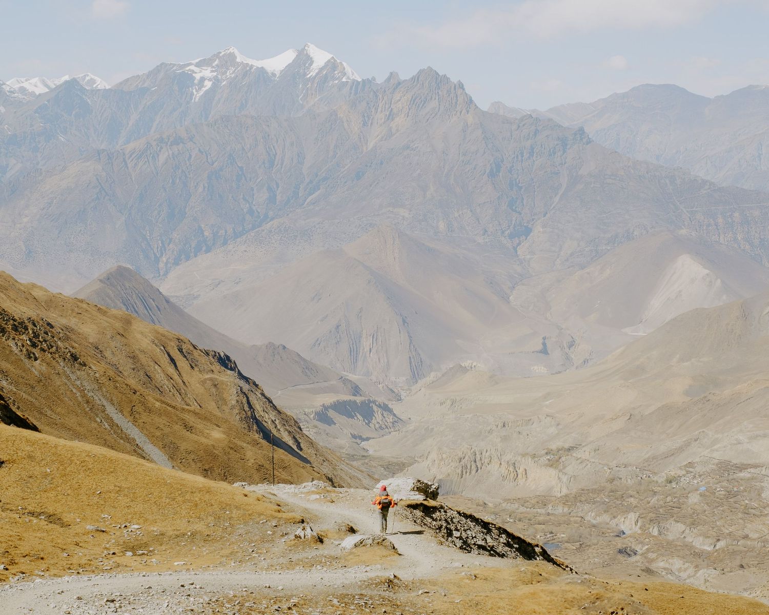
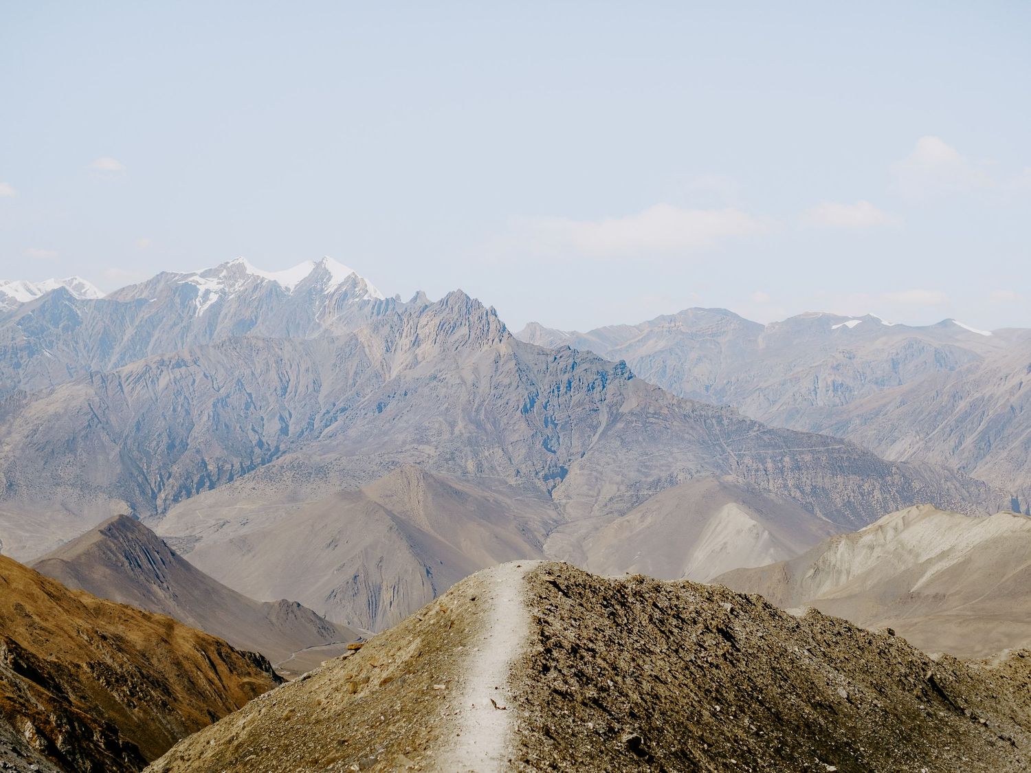
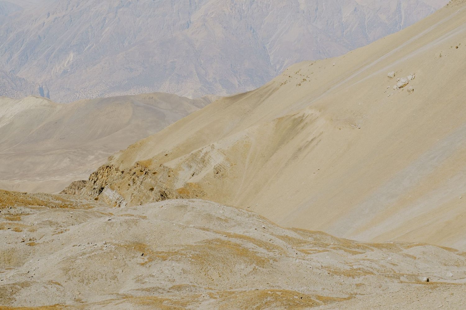
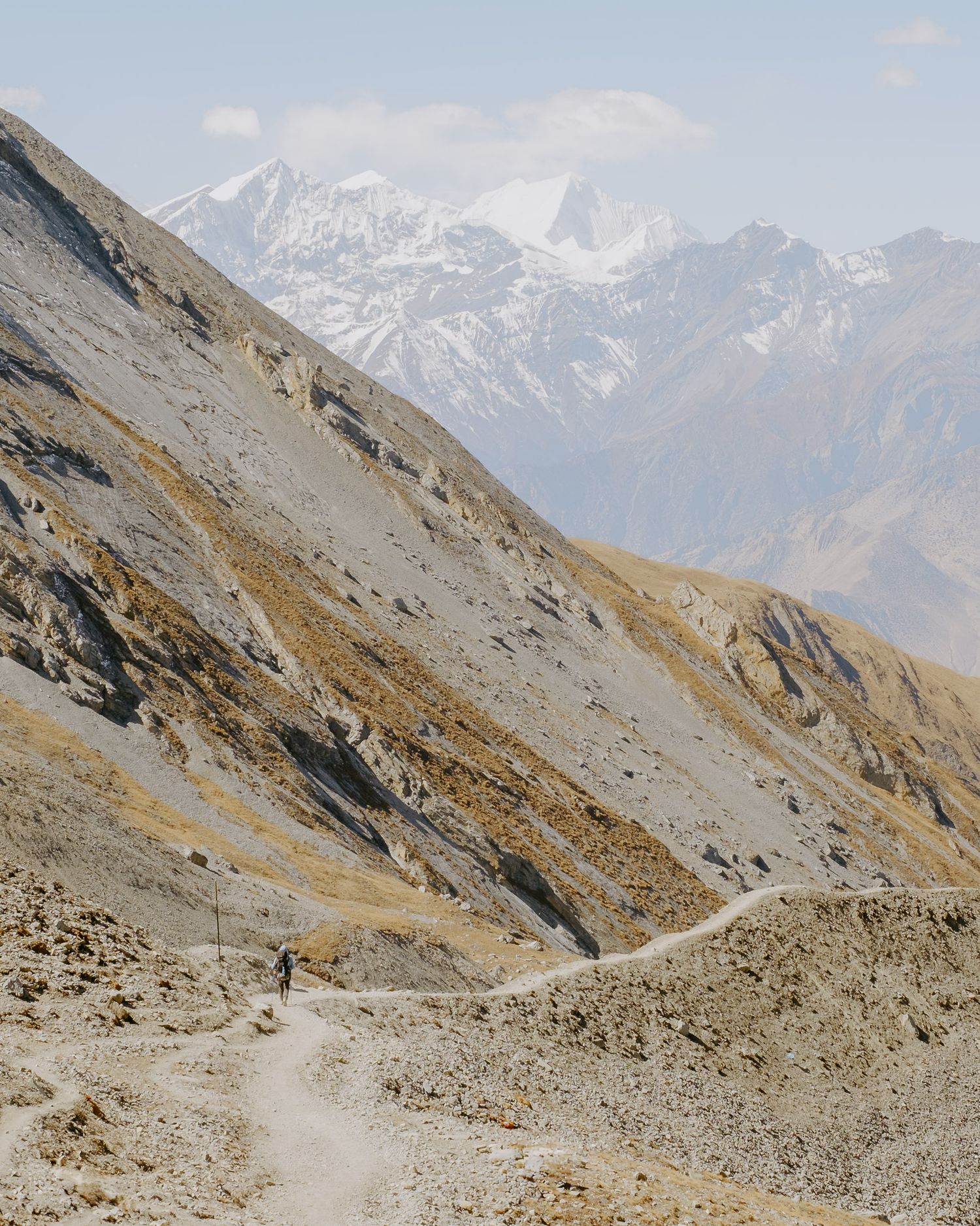
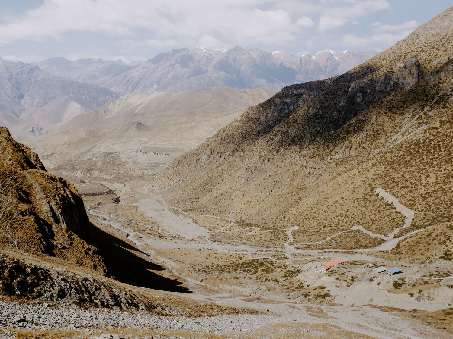
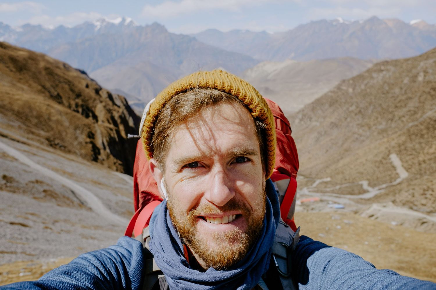
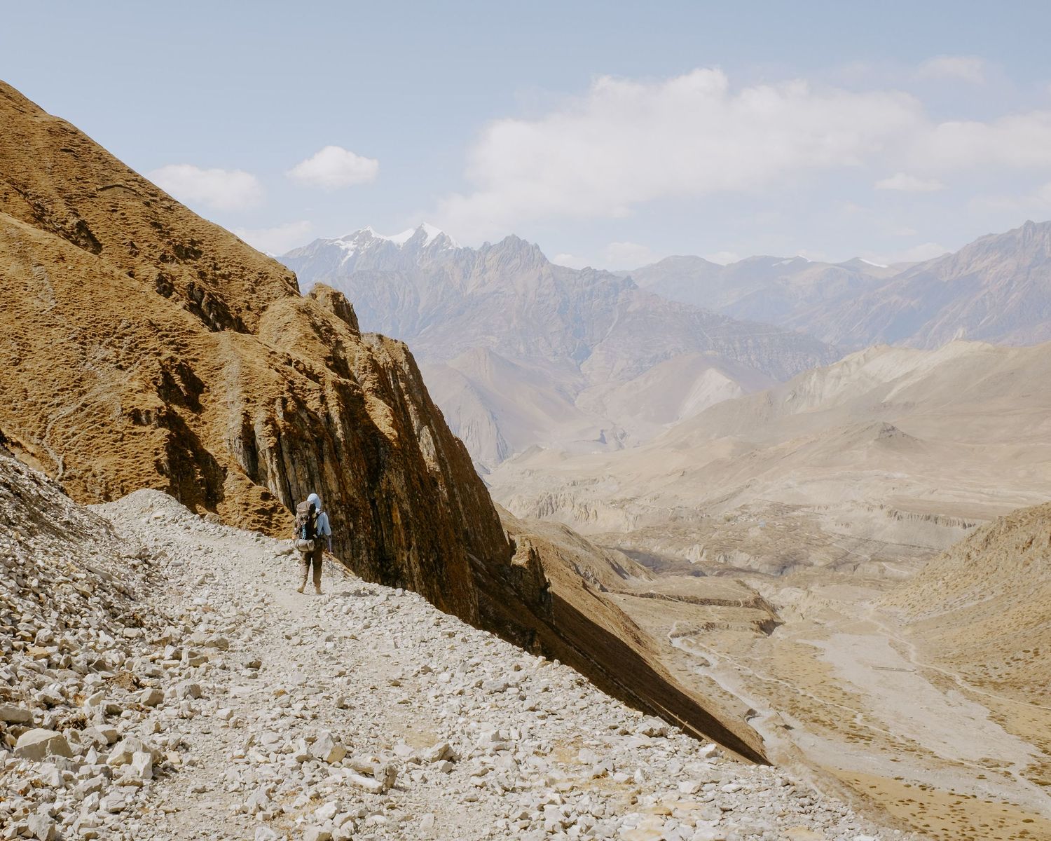
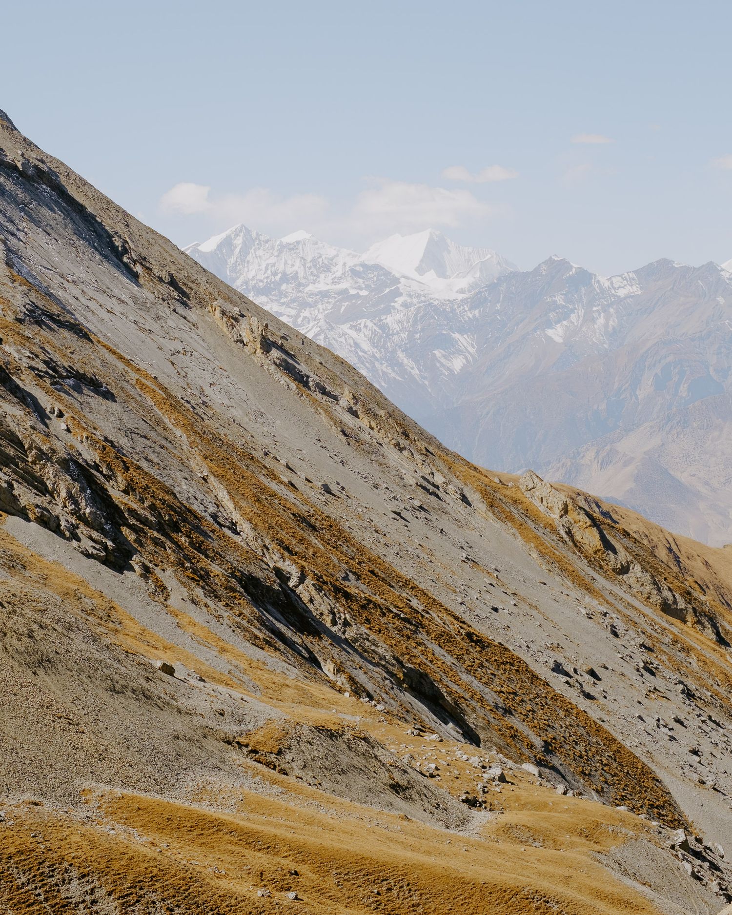
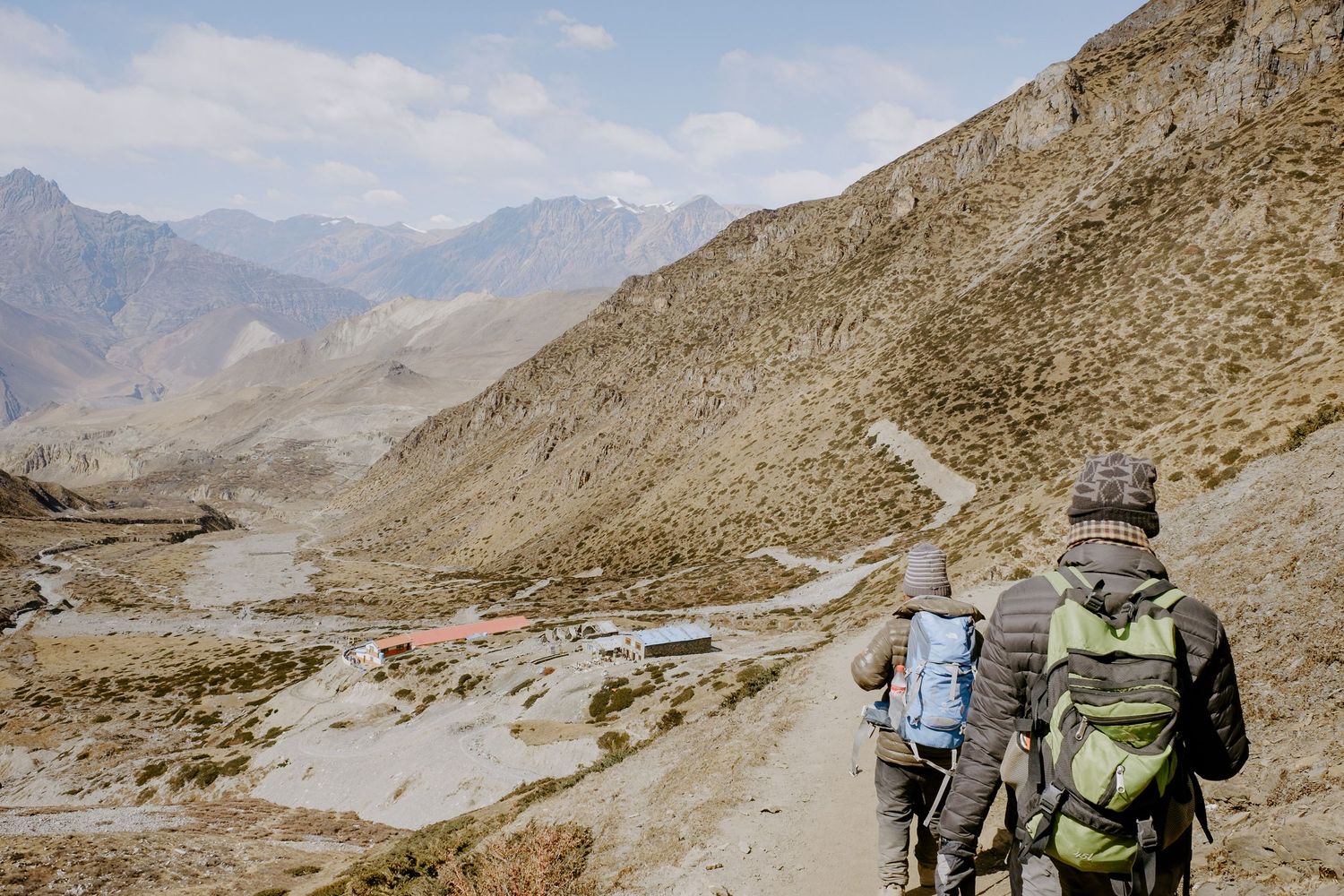
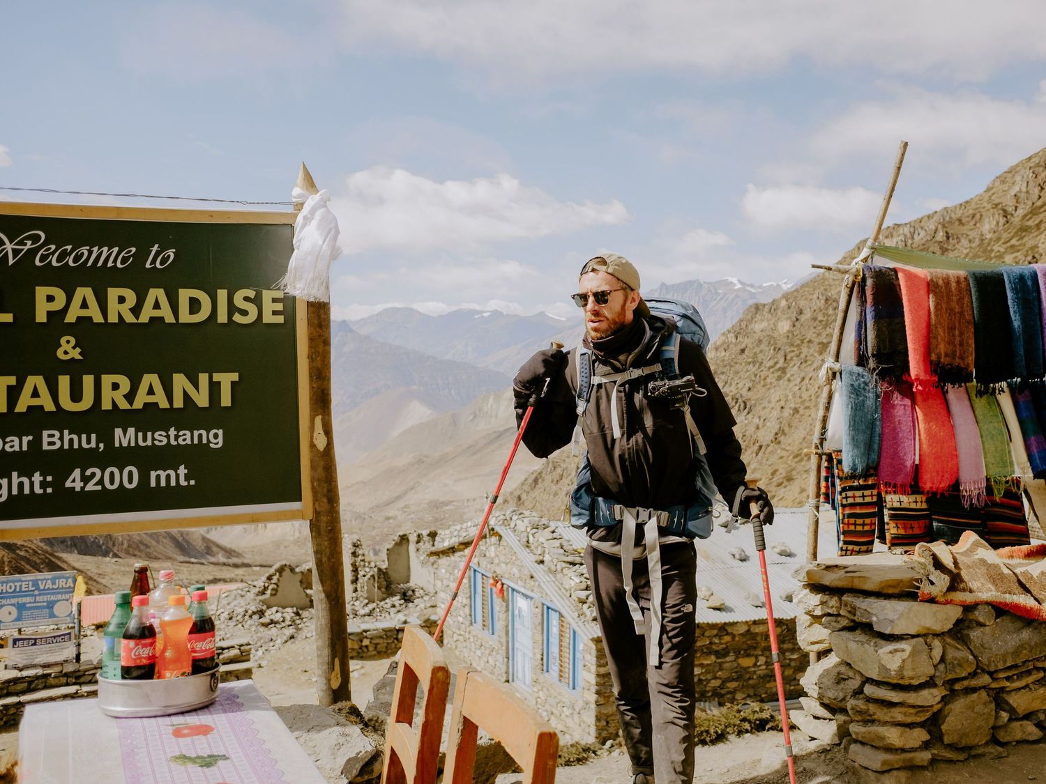
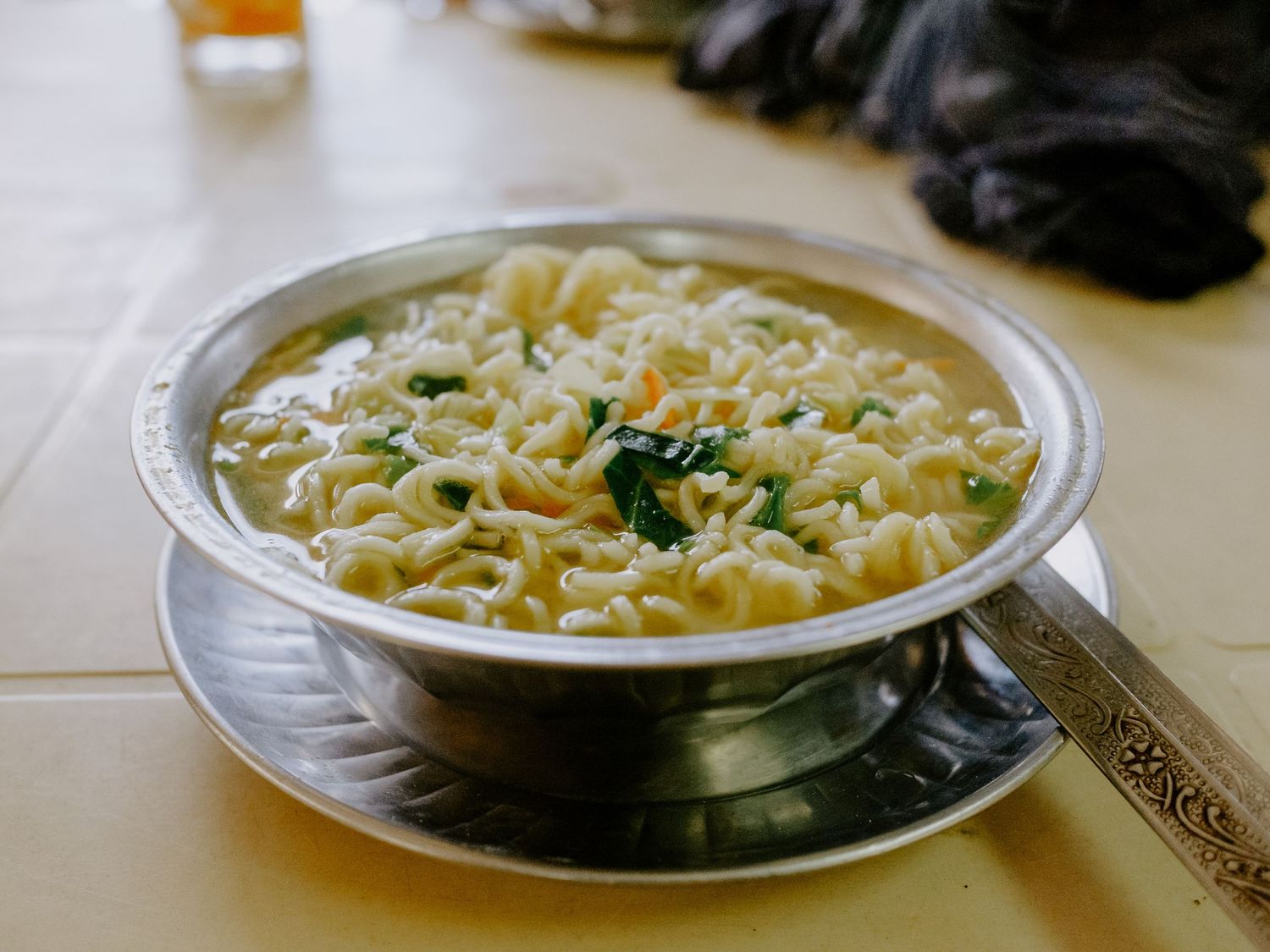
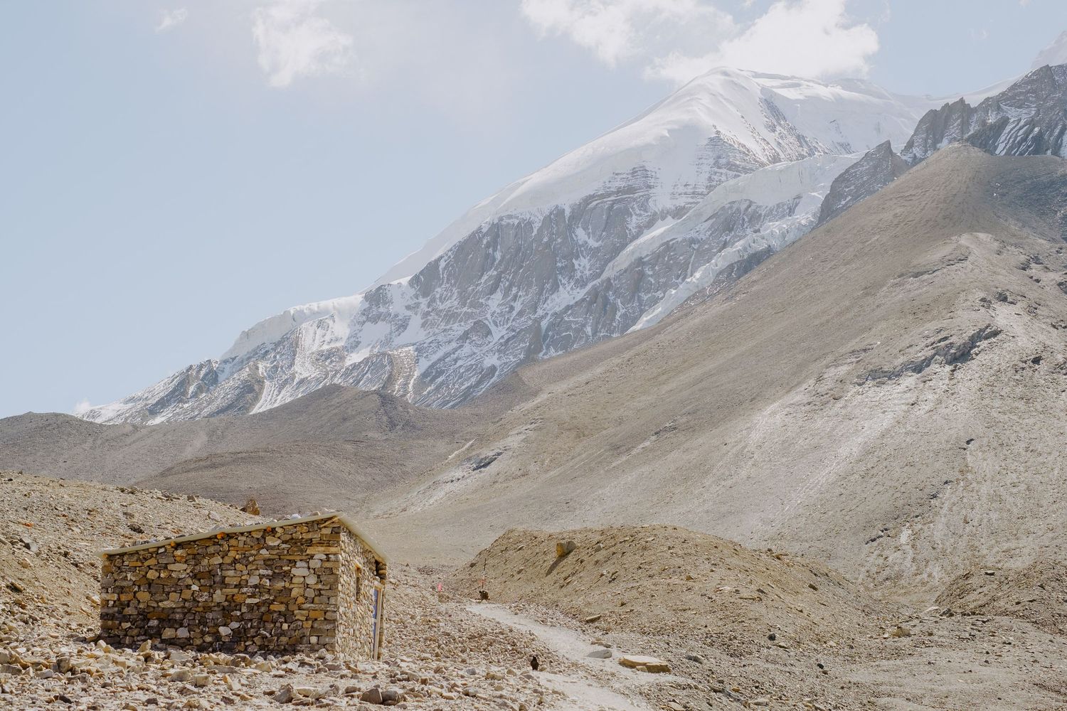
Ryan & Andrew stopped off at the first tea house we encountered and I eventually caught up with them. We sat on the upper floor of the teahouse for the usual noodle soup and refreshments. It was called Paradise, and in a way it was.
Part 4 - Muktinath
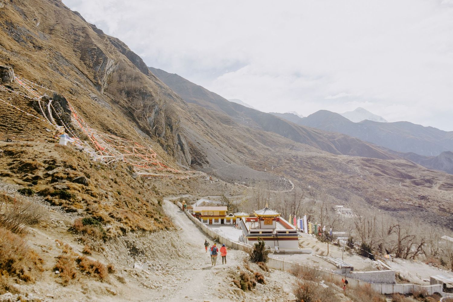
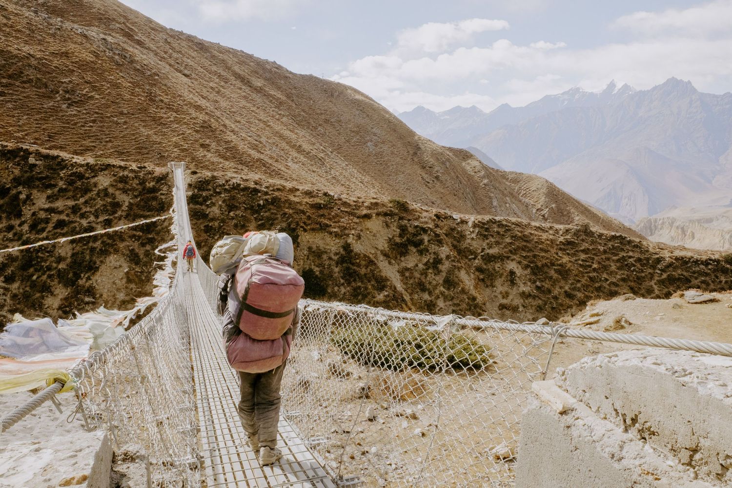
After lunch at the tea house, we still had quite a walk ahead of us to reach Muktinath. With the steep descent behind us, we crossed through the lowlands, navigating over a few bridges and getting closer to a shower and a beer. Ryan took off ahead at a good pace but ended up rolling his ankle, which brought him back to my speed as we finally reached the outskirts of Muktinath and the famous temple.
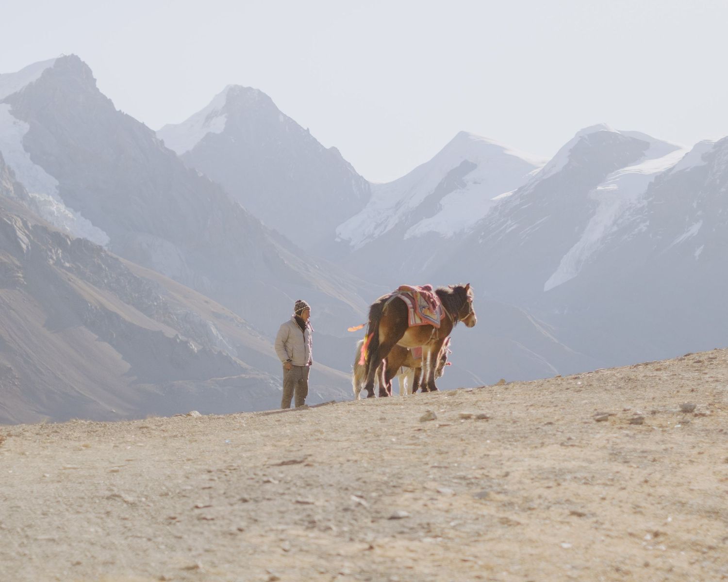
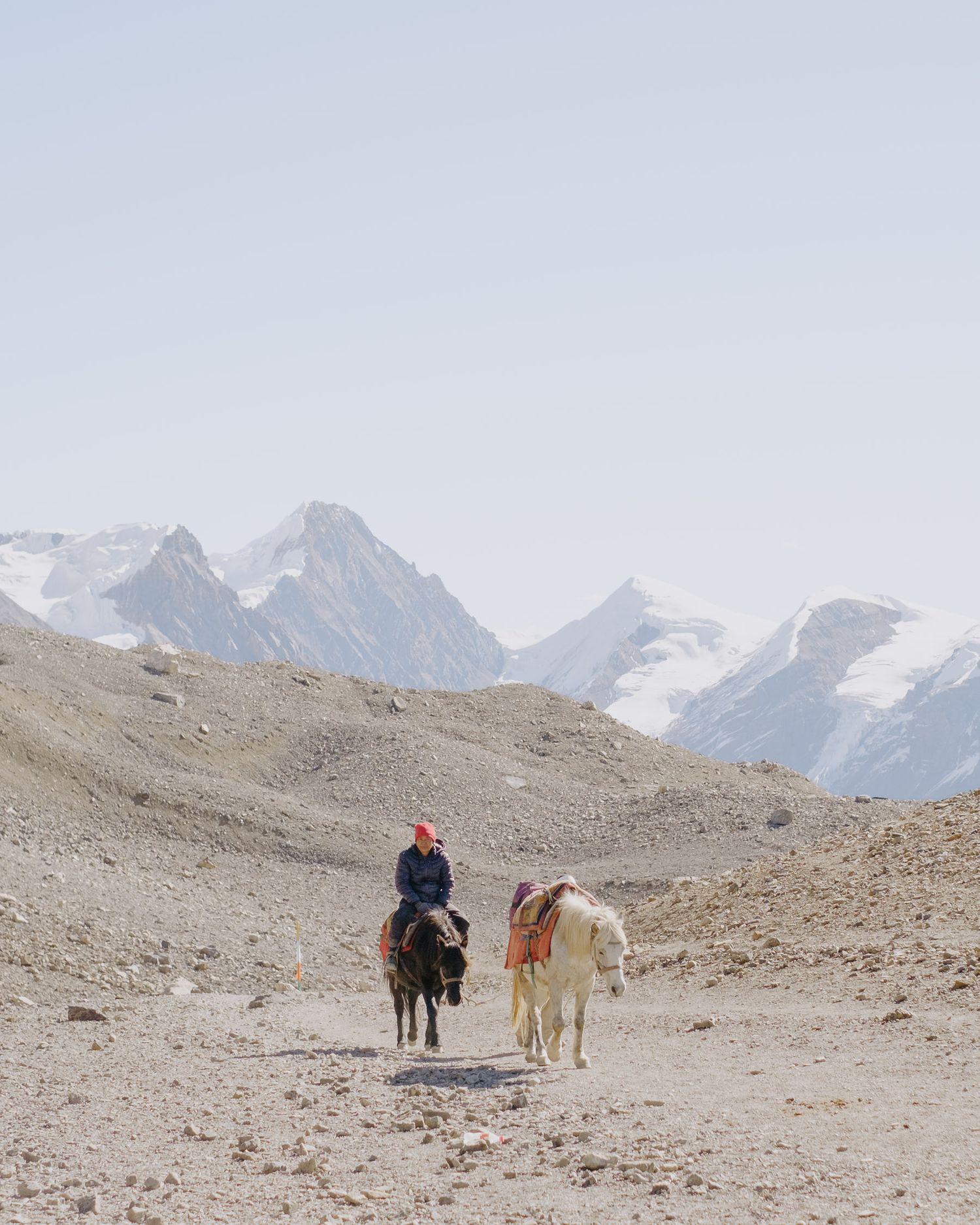
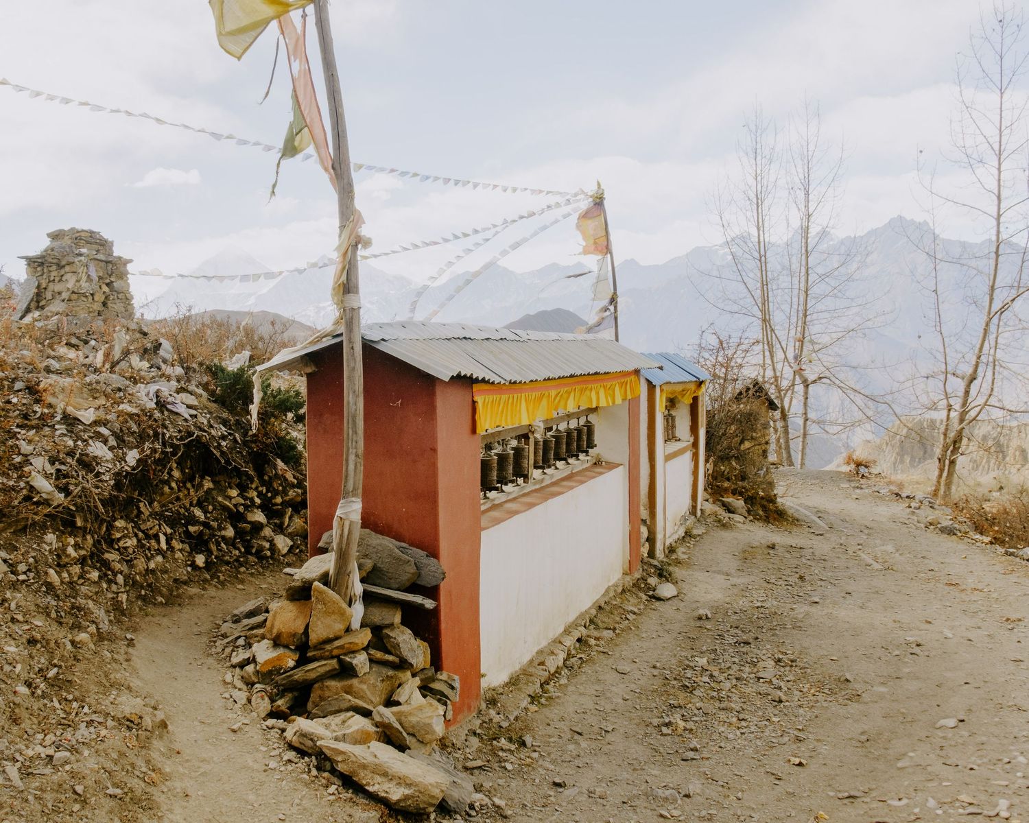
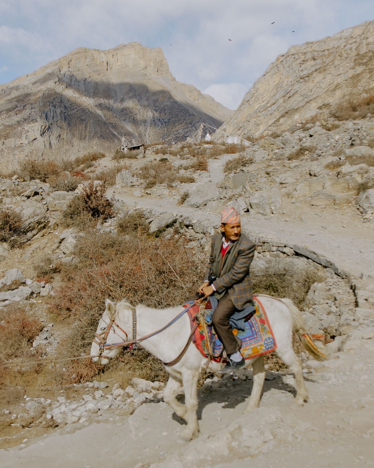
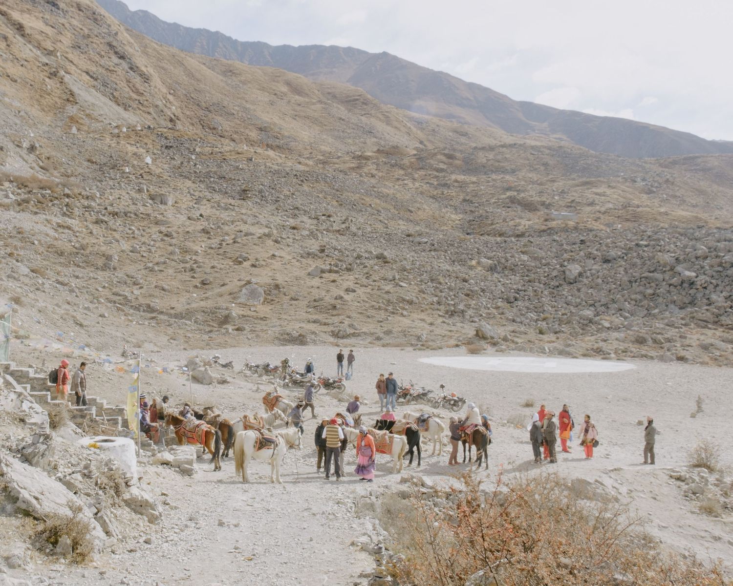
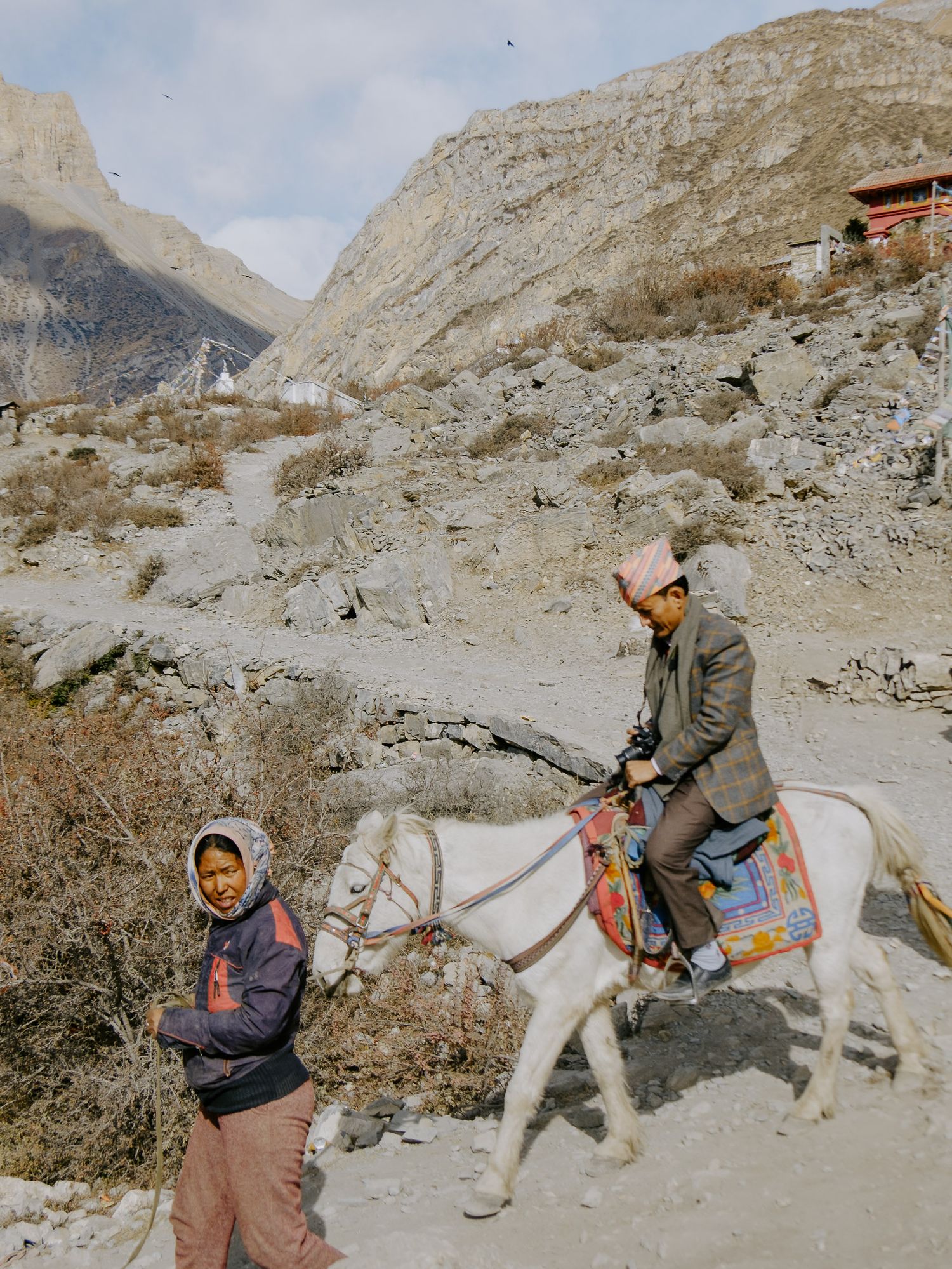
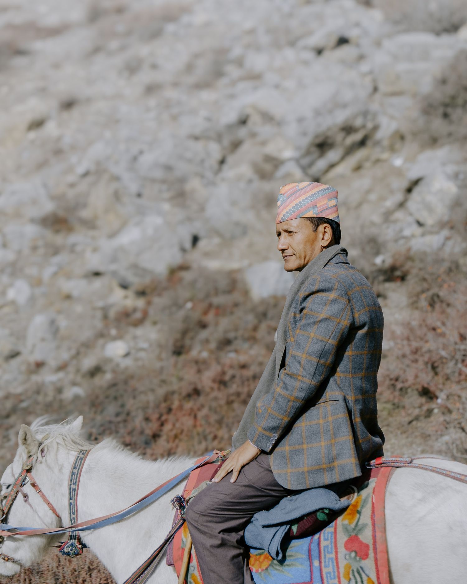
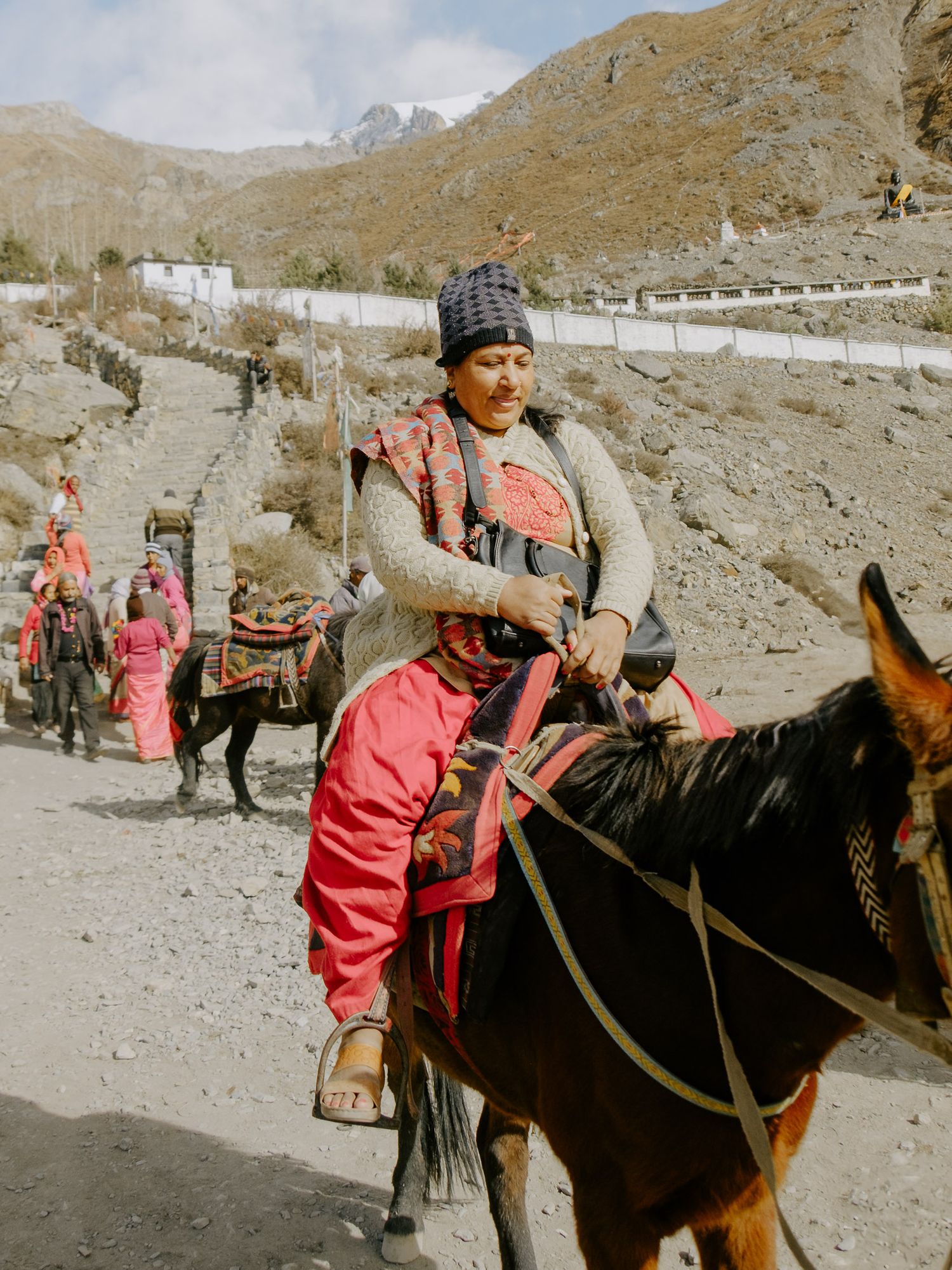
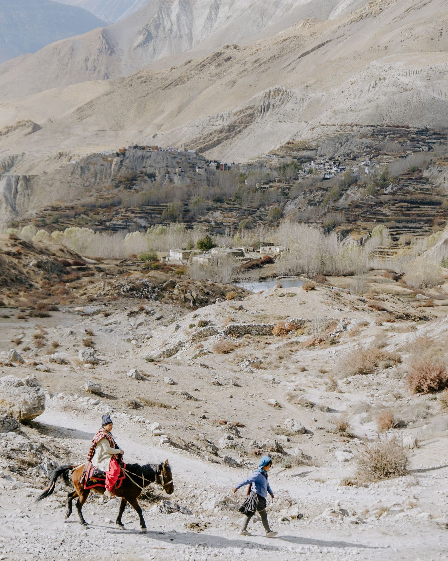
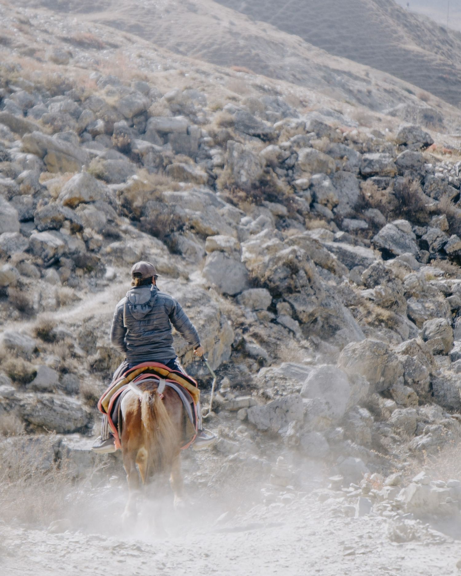
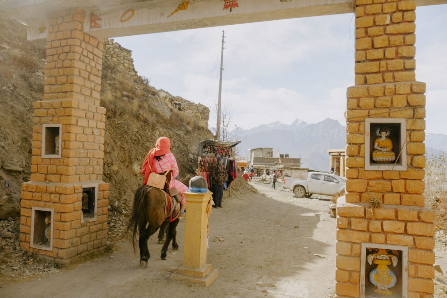
The temple was a bit of a surprise; it was bustling with life after spending the day in the barren landscape. While pilgrims rode horseback to the temple for religious reasons, we were there not for the mountains or the adventure of the pass, but we all found ourselves in the same place, feeling rewarded for our efforts.
Our destination for the night was the Bob Marley Guesthouse. I can't recall if it was recommended to us or if we ended up there by chance. The bedroom served its purpose, and the shower was refreshing. Unfortunately, I can't remember much more about that evening. We must have enjoyed a beer and plenty of food to recover. We also saw a few familiar faces from previous days who arrived shortly after us. Some people hopped straight into jeeps and headed back toward Pokhara, but I was happy to stay for a long while.
This is a paragraph. Double-click or click edit and enter your own text.
Day 10 - Lessons Learned
- The effects of altitude still apply on the way down.
- Pass day is the victory lap for all the trekking done to get there.